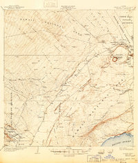
1924 Map of Kilauea
USGS Topo · Published 1946About this map
Kilauea Crater and the surrounding volcanic landscape dominate this mid-century printing of early 1920s surveys, showcasing the early infrastructure of Hawaii National Park. The map captures a transition from industrial exploitation to conservation, evidenced by the Old Koa Mill standing near the lush Upper Olaa Forest Reserve and Fern Forest. Settlement patterns are defined by functional outposts like the Kilauea Military Camp, Prison Camp, and various labor or recreation sites such as Iseri Camp and Church Camp. Topography is marked by numerous pit craters and ancient lava flows, including the prominent Halemaumau and Mauna Iki. To the south, agricultural development is visible at Kapapala Ranch and the Wood Valley Homesteads, while historic travel routes like the Old Puna-Kau Trail navigate the challenging Kau Desert toward the Pacific Ocean.
Find a feature on this map
114 named features on this map. Tap any name to fly to it.
Don’t see what you’re looking for? This feature index may not catch every label — zoom into the map to look around manually.
Map Details
Editions of this 1924 Kilauea Map
5 editions found
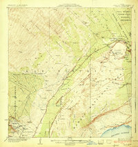
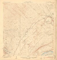
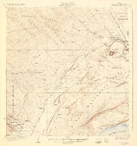
Other maps of this area

1917 · Hilo
USGS Topo · 1:62,500

1921 · Kilauea
USGS Topo · 1:62,500

1922 · Puna
USGS Topo · 1:62,500

1923 · Pahala
USGS Topo · 1:62,500

1924 · Kilauea
USGS Topo · 1:62,500

1924 · Puna
USGS Topo · 1:62,500

1924 · Honuapo
USGS Topo · 1:62,500

1927 · Kaohe
USGS Topo · 1:62,500

1928 · Mauna Loa
USGS Topo · 1:62,500

1930 · Humuula
USGS Topo · 1:62,500