
1924 Map of Kilauea
USGS Topo · Published 1924About this map
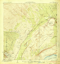
Kilauea Crater and the surrounding volcanic landscape of the Puna and Kau Districts dominate this early 20th-century survey. The terrain is a complex record of active geology, featuring the Halemaumau pit and the fresh paths of the Lava Flow of 1920 and Lava Flow of 1881. Human presence is marked by scientific and hospitality interests at Volcano House and the Kilauea Military Camp, while further west, the land transitions to ranching and homesteading at Kapapala Ranch and the Kilauea Settlement Lots. The map preserves the network of early transit, including the Peter Lee Road and the Old Kau-Volcano Trail, alongside localized industry like the Old Koa Mill. These features reveal a territory balancing emerging tourism and military activity with established agricultural camps such as Iseri Camp and Wood Valley Camp.
Find a feature on this map
92 named features on this map. Tap any name to fly to it.
Don’t see what you’re looking for? This feature index may not catch every label — zoom into the map to look around manually.
Map Details
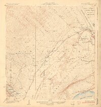
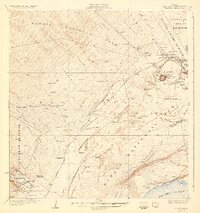
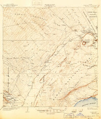
Editions of this 1924 Kilauea Map
5 editions found
Other maps of this area

1917 · Hilo
USGS Topo · 1:62,500

1921 · Kilauea
USGS Topo · 1:62,500

1922 · Puna
USGS Topo · 1:62,500

1923 · Pahala
USGS Topo · 1:62,500

1924 · Puna
USGS Topo · 1:62,500

1924 · Honuapo
USGS Topo · 1:62,500

1927 · Kaohe
USGS Topo · 1:62,500

1928 · Mauna Loa
USGS Topo · 1:62,500

1930 · Humuula
USGS Topo · 1:62,500

1930 · Kaohe
USGS Topo · 1:62,500