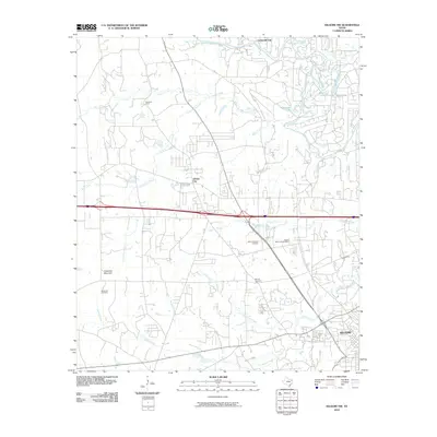
2010 Map of Kilgore NW
USGS Topo · Published 2010About this map
The Sabine River snakes across the northern boundary of this East Texas landscape, defining a wetland environment rich with oxbow features like Horseshoe Lake and Black Lake. To the south, the terrain transitions into the more settled corridors of Clarksville City and Liberty City, while the northwestern reaches of Kilgore anchor the southeastern corner. This area is characterized by several small water systems, including Prairie Creek and Little Caney Creek, which drain toward the river through a mix of wooded and cleared land.
Find a feature on this map
26 named features on this map. Tap any name to fly to it.
Don’t see what you’re looking for? This feature index may not catch every label — zoom into the map to look around manually.
Map Details
Editions of this 2010 Kilgore NW Map
This is the sole edition of this map. No revisions or reprints were ever made.
Other maps of this area

1936 · Kilgore
USGS Topo · 1:48,000

1938 · Winona
USGS Topo · 1:48,000

1940 · Kilgore
USGS Topo · 1:62,500

1943 · Winona
USGS Topo · 1:62,500

1956 · Tyler
USGS Topo · 1:250,000

1960 · Big Sandy
USGS Topo · 1:24,000

1960 · White Oak
USGS Topo · 1:24,000

1960 · Gladewater
USGS Topo · 1:24,000

1966 · Hope Pond
USGS Topo · 1:24,000
1966 · Starrville
USGS Topo · 1:24,000