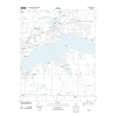
2011 Map of Killen
USGS Topo · Published 2011About this map
Wilson Lake and the Tennessee River dominate this modern topographic layout, highlighting the developed waterfronts and residential growth north of Muscle Shoals. Numerous small lakeside communities like Lingerlost, Peytona Points, and Emerald Shores reflect the contemporary recreational character of the shoreline. The map provides significant genealogical value through its density of family-named burial sites, including the Kernachan Cemetery, Tate-Russell Cemetery, and Peden Cemetery. Industrial and transport patterns are evident in the layout of Nitrate City and the presence of the Landing Strip. Older land divisions are preserved in the road network, while neighborhood clusters like Village Pines and Morningside Heights illustrate the late 20th-century expansion of Florence.
Find a feature on this map
93 named features on this map. Tap any name to fly to it.
Don’t see what you’re looking for? This feature index may not catch every label — zoom into the map to look around manually.
Map Details
Editions of this 2011 Killen Map
This is the sole edition of this map. No revisions or reprints were ever made.
Other maps of this area

1914 · Rogersville
USGS Topo · 1:48,000

1914 · Muscle Shoals
USGS Topo · 1:48,000

1916 · Muscle Shoals
USGS Topo · 1:62,500

1916 · Rogersville
USGS Topo · 1:62,500

1924 · Tuscumbia
USGS Topo · 1:48,000

1926 · Tuscumbia
USGS Topo · 1:62,500

1936 · Pruitton
USGS Topo · 1:24,000

1936 · Wheeler Dam
USGS Topo · 1:24,000

1936 · Florence
USGS Topo · 1:24,000

1936 · Town Creek
USGS Topo · 1:24,000