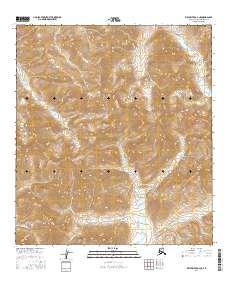
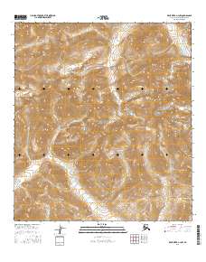
2016 Map of Killik River A-4 NE
USGS Topo · Published 2016About this map
Gates of the Arctic National Park encompasses nearly the entire landscape shown on this 2016 survey in the North Slope region. The terrain is characterized by high-elevation ridges and drainage basins, most notably the headwaters of Kakivilak Cr and Chitlak Cr. These watercourses flow through deep valleys between peaks reaching over 6,000 feet, following a path through township sections like t32n r17e. The map serves as a precise record of the remote wilderness before modern infrastructure, focusing entirely on the natural hydrography and topograhic relief of the Brooks Range interior. It highlights the vast, unpopulated character of this protected subarctic environment, where the land is defined solely by its watershed patterns and mountain crests.
Find a feature on this map
8 named features on this map. Tap any name to fly to it.
Don’t see what you’re looking for? This feature index may not catch every label — zoom into the map to look around manually.
Map Details
Editions of this 2016 Killik River A-4 NE Map
This is the sole edition of this map. No revisions or reprints were ever made.
Other maps of this area

1951 · Killik River
USGS Topo · 1:250,000

1956 · Killik River
USGS Topo · 1:250,000
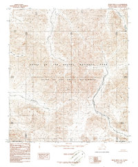
1986 · Killik River A-4
USGS Topo · 1:63,360
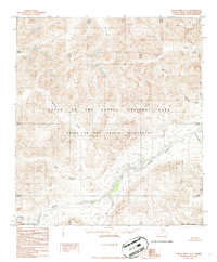
1986 · Killik River A-3
USGS Topo · 1:63,360
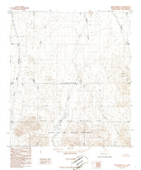
1986 · Killik River B-4
USGS Topo · 1:63,360
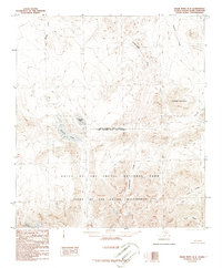
1986 · Killik River B-3
USGS Topo · 1:63,360
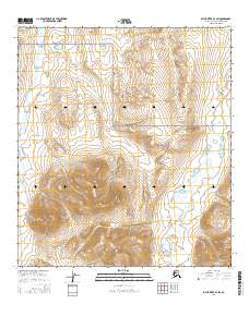
2016 · Killik River B-4 SW
USGS Topo · 1:25,000
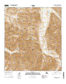
2016 · Killik River A-4 NW
USGS Topo · 1:25,000
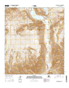
2016 · Killik River B-3 SW
USGS Topo · 1:25,000
2016 · Killik River A-3 NW
USGS Topo · 1:25,000