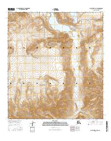
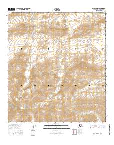
2016 Map of Killik River B-3 SW
USGS Topo · Published 2016About this map
Gates Of The Arctic National Park encompasses the southern half of this wilderness landscape, where the Brooks Range transitions into the high Arctic tundra. Central to the topography is the glacial drainage of Kurupa Lake, which feeds the north-flowing Kurupa River as it cuts through the surrounding heights. The map details a primitive and roadless environment defined by sharp elevation changes, from the prominent Kurupa Hills in the northwest to the secluded basin of Cascade Lake near the northern boundary. The 2016 data illustrates a landscape of extreme isolation, where surveyors documented vast wetlands and permafrost features alongside the braided river system that serves as a primary corridor through this protected northern interior.
Find a feature on this map
11 named features on this map. Tap any name to fly to it.
Don’t see what you’re looking for? This feature index may not catch every label — zoom into the map to look around manually.
Map Details
Editions of this 2016 Killik River B-3 SW Map
This is the sole edition of this map. No revisions or reprints were ever made.
Other maps of this area

1951 · Killik River
USGS Topo · 1:250,000

1956 · Killik River
USGS Topo · 1:250,000
1986 · Killik River A-4
USGS Topo · 1:63,360
1986 · Killik River A-3
USGS Topo · 1:63,360
1986 · Killik River B-4
USGS Topo · 1:63,360
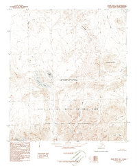
1986 · Killik River B-3
USGS Topo · 1:63,360
2016 · Killik River A-3 NW
USGS Topo · 1:25,000
2016 · Killik River A-4 NE
USGS Topo · 1:25,000
2016 · Killik River A-3 NE
USGS Topo · 1:25,000
2016 · Killik River B-3 SE
USGS Topo · 1:25,000