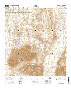
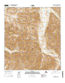
2016 Map of Killik River B-4 SW
USGS Topo · Published 2016About this map
Gates Of The Arctic National Park encompasses the central portion of this wilderness survey, highlighting a landscape defined by dramatic elevation changes and a preservation of original Arctic environments. The E Fork Etivluk River winds along the western edge of the quadrangle, serving as a primary drainage for the surrounding mountains. To the north, the headwaters of Noguk Cr emerge from the high ridges, illustrating the intricate hydrological patterns of the North Slope. This 2016 data illustrates a region largely untouched by permanent human infrastructure, where the survey lines of t34n r15e and t33n r16e provide the only formal markers across the vast, treeless terrain of the Brooks Range foothills.
Find a feature on this map
9 named features on this map. Tap any name to fly to it.
Don’t see what you’re looking for? This feature index may not catch every label — zoom into the map to look around manually.
Map Details
Editions of this 2016 Killik River B-4 SW Map
This is the sole edition of this map. No revisions or reprints were ever made.
Other maps of this area

1951 · Killik River
USGS Topo · 1:250,000

1956 · Killik River
USGS Topo · 1:250,000
1984 · Killik River B-5
USGS Topo · 1:63,360
1984 · Killik River A-5
USGS Topo · 1:63,360
1986 · Killik River A-4
USGS Topo · 1:63,360
1986 · Killik River B-4
USGS Topo · 1:63,360
2016 · Killik River B-4 NW
USGS Topo · 1:25,000
2016 · Killik River B-5 SE
USGS Topo · 1:25,000
2016 · Killik River B-5 NE
USGS Topo · 1:25,000
2016 · Killik River A-4 NW
USGS Topo · 1:25,000