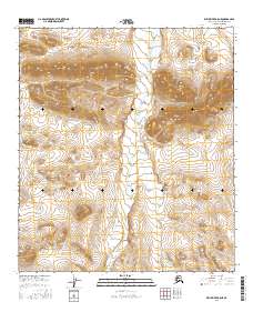
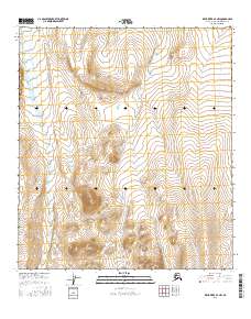
2016 Map of Killik River B-5 NE
USGS Topo · Published 2016About this map
Ivotuk Hills dominate the northern landscape of this North Slope interior region, providing a high-relief backdrop to the winding course of Ivotuk Cr. This 2016 survey, compiled from imagery dating back to 2009, illustrates a wilderness area characterized by the vast expanse of the Public Land Survey System grids, specifically portions of t11s r16w, t11s r15w, t12s r16w, and t12s r15w. The drainage patterns of the Ivotuk Creek watershed are clearly defined, showing the intricate network of seasonal flows and wetlands across the tundra. This map offers a precise look at a remote Arctic terrain where geological and hydrographic features remain the primary landmarks for navigation and land management.
Find a feature on this map
6 named features on this map. Tap any name to fly to it.
Don’t see what you’re looking for? This feature index may not catch every label — zoom into the map to look around manually.
Map Details
Editions of this 2016 Killik River B-5 NE Map
This is the sole edition of this map. No revisions or reprints were ever made.
Other maps of this area

1951 · Killik River
USGS Topo · 1:250,000

1956 · Killik River
USGS Topo · 1:250,000
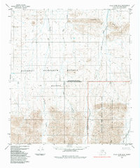
1984 · Killik River B-5
USGS Topo · 1:63,360
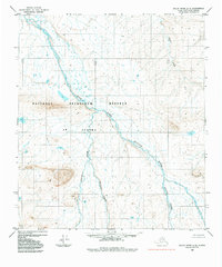
1984 · Killik River C-5
USGS Topo · 1:63,360
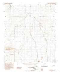
1986 · Killik River C-4
USGS Topo · 1:63,360
1986 · Killik River B-4
USGS Topo · 1:63,360
2016 · Killik River C-5 SE
USGS Topo · 1:25,000
2016 · Killik River B-4 SW
USGS Topo · 1:25,000
2016 · Killik River C-5 SW
USGS Topo · 1:25,000
2016 · Killik River B-4 NW
USGS Topo · 1:25,000