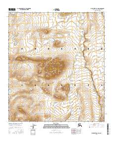
2016 Map of Killik River C-5 SW
USGS Topo · Published 2016About this map
The Arctic landscape of the North Slope is defined here by the headwaters and drainage patterns of Iteriak Creek and Otuk Creek. This 2016 survey captures the austere hydrology of the Killik River basin, where seasonal streams carve through the tundra and upland slopes. The terrain is structured by the Public Land Survey System, with the map covering portions of Township 10 South Range 17 West and surrounding blocks. Unlike many maps of the era, this sheet shows a wilderness devoid of roads or man-made structures, reflecting the extreme isolation of the region north of the Brooks Range. Researchers studying the Arctic watershed or land management boundaries can trace the exact course of these waterways through the high-latitude interior.
Find a feature on this map
11 named features on this map. Tap any name to fly to it.
Don’t see what you’re looking for? This feature index may not catch every label — zoom into the map to look around manually.
Map Details
Editions of this 2016 Killik River C-5 SW Map
This is the sole edition of this map. No revisions or reprints were ever made.
Other maps of this area

1951 · Howard Pass
USGS Topo · 1:250,000

1951 · Killik River
USGS Topo · 1:250,000

1956 · Howard Pass
USGS Topo · 1:250,000

1956 · Killik River
USGS Topo · 1:250,000
1984 · Killik River B-5
USGS Topo · 1:63,360
1984 · Howard Pass B-1
USGS Topo · 1:63,360

1984 · Howard Pass C-1
USGS Topo · 1:63,360
1984 · Killik River C-5
USGS Topo · 1:63,360
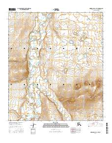
2016 · Howard Pass C-1 NE
USGS Topo · 1:25,000
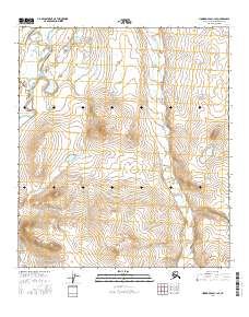
2016 · Howard Pass C-1 SE
USGS Topo · 1:25,000