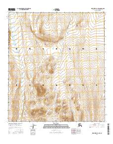
2016 Map of Killik River B-4 NW
USGS Topo · Published 2016About this map
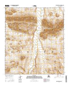
The E Fork Etivluk River flows northward through this unpopulated portion of the Brooks Range foothills, its course paralleled by the smaller drainage of Nogak Cr. This 2016 survey by the U.S. Geological Survey details a landscape shaped by glacial and fluvial processes, where the water systems define the only traversable paths through high-relief terrain. The map is divided by the boundary lines of T11s R14w and surrounding townships, illustrating the vast scale of the North Slope's public land survey system. Without roads or permanent settlements, the topography reveals the isolation and primitive character of the region, where the E Fork Etivluk River serves as a primary geographic anchor for aviation and wilderness navigation.
Find a feature on this map
6 named features on this map. Tap any name to fly to it.
Don’t see what you’re looking for? This feature index may not catch every label — zoom into the map to look around manually.
Map Details
Editions of this 2016 Killik River B-4 NW Map
This is the sole edition of this map. No revisions or reprints were ever made.
Other maps of this area

1951 · Killik River
USGS Topo · 1:250,000

1956 · Killik River
USGS Topo · 1:250,000
1984 · Killik River B-5
USGS Topo · 1:63,360
1984 · Killik River C-5
USGS Topo · 1:63,360
1986 · Killik River C-4
USGS Topo · 1:63,360
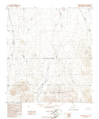
1986 · Killik River B-4
USGS Topo · 1:63,360
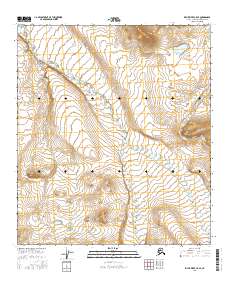
2016 · Killik River C-5 SE
USGS Topo · 1:25,000
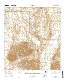
2016 · Killik River B-4 SW
USGS Topo · 1:25,000
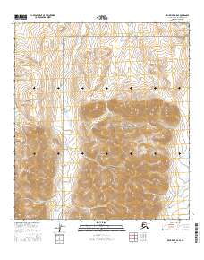
2016 · Killik River B-5 SE
USGS Topo · 1:25,000
2016 · Killik River B-5 NE
USGS Topo · 1:25,000