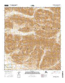
2016 Map of Killik River A-5 NW
USGS Topo · Published 2016About this map
Noatak National Preserve occupies the southwest corner of this Alaskan landscape, where the headwaters of the Nimiuktuk River begin their descent through the Arctic terrain. This 2016 survey captures a high-elevation segment of the North Slope, defined by the drainage patterns of Otirgon Cr and Ivoluk Cr. The map details a strictly natural environment with no permanent settlements or roads, focusing instead on the hydrography and topographical contouring that characterize this protected wilderness. The land is divided by the Public Land Survey System into townships and ranges such as t32n r13e and t33n r13e, providing a precise grid for navigating an area primarily defined by its riparian corridors and steep ridgelines.
Find a feature on this map
9 named features on this map. Tap any name to fly to it.
Don’t see what you’re looking for? This feature index may not catch every label — zoom into the map to look around manually.
Map Details
Editions of this 2016 Killik River A-5 NW Map
This is the sole edition of this map. No revisions or reprints were ever made.
Other maps of this area

1951 · Howard Pass
USGS Topo · 1:250,000

1951 · Killik River
USGS Topo · 1:250,000

1956 · Howard Pass
USGS Topo · 1:250,000

1956 · Killik River
USGS Topo · 1:250,000
1984 · Killik River B-5
USGS Topo · 1:63,360
1984 · Howard Pass B-1
USGS Topo · 1:63,360
1984 · Killik River A-5
USGS Topo · 1:63,360
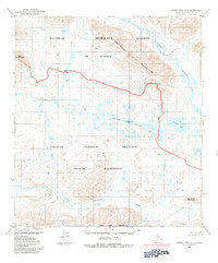
1984 · Howard Pass A-1
USGS Topo · 1:63,360
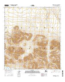
2016 · Howard Pass B-1 SE
USGS Topo · 1:25,000
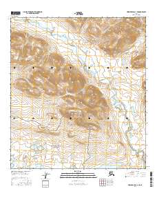
2016 · Howard Pass A-1 NE
USGS Topo · 1:25,000