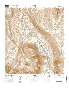
2016 Map of Killik River B-1 NE
USGS Topo · Published 2016About this map
Gates Of The Arctic National Park encompasses the high-altitude terrain of the North Slope in this modern topographic study. The landscape is defined by the drainage patterns of the Okokmilaga River, which cuts through the central portion of the quadrangle. Several significant tributaries feed this system, including Fortress Cr to the east and the winding Pediment Cr to the north. In the western reaches, Fire Cr traverses a series of steep contours, illustrating the complex hydrography of this protected wilderness area. The absence of roads or permanent settlements underscores the remote character of this region within the Brooks Range foothills, where natural watercourses remain the primary geographic landmarks.
Find a feature on this map
9 named features on this map. Tap any name to fly to it.
Don’t see what you’re looking for? This feature index may not catch every label — zoom into the map to look around manually.
Map Details
Editions of this 2016 Killik River B-1 NE Map
This is the sole edition of this map. No revisions or reprints were ever made.
Other maps of this area

1951 · Chandler Lake
USGS Topo · 1:250,000

1951 · Killik River
USGS Topo · 1:250,000

1956 · Chandler Lake
USGS Topo · 1:250,000

1956 · Killik River
USGS Topo · 1:250,000

1964 · Chandler Lake
USGS Topo · 1:250,000
1986 · Killik River B-1
USGS Topo · 1:63,360
1986 · Killik River C-1
USGS Topo · 1:63,360
1987 · Chandler Lake B-5
USGS Topo · 1:63,360
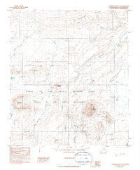
1987 · Chandler Lake C-5
USGS Topo · 1:63,360
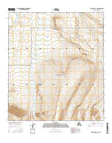
2016 · Killik River B-1 NW
USGS Topo · 1:25,000