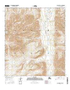
2016 Map of Killik River B-1 SE
USGS Topo · Published 2016About this map
Gates of the Arctic National Park dominates this sub-arctic landscape in the Alaska-North Slope Borough, where a complex network of waterways flows across high-elevation contours. The Okokmilaga River serves as the primary drainage through the central corridor, fed by several significant tributaries including Kikoyat Cr and Inyugakuligit Cr. The terrain is characterized by steep ridges and glacial valleys, with water bodies like Inikaklik Cr and Tikmiakpalik Cr carving through the mountainsides. This 2016 survey captures a portion of the Brooks Range where there are no roads or permanent settlements, reflecting the pure wilderness character of one of America's most northern protected areas. The mapping details drainage patterns such as Takuak Cr and Monotis Cr, providing a foundational view of the hydrological system in this remote Alaskan interior.
Find a feature on this map
16 named features on this map. Tap any name to fly to it.
Don’t see what you’re looking for? This feature index may not catch every label — zoom into the map to look around manually.
Map Details
Editions of this 2016 Killik River B-1 SE Map
This is the sole edition of this map. No revisions or reprints were ever made.
Other maps of this area

1951 · Chandler Lake
USGS Topo · 1:250,000

1951 · Killik River
USGS Topo · 1:250,000

1956 · Chandler Lake
USGS Topo · 1:250,000

1956 · Killik River
USGS Topo · 1:250,000

1964 · Chandler Lake
USGS Topo · 1:250,000
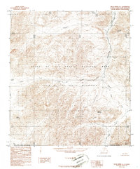
1986 · Killik River A-1
USGS Topo · 1:63,360
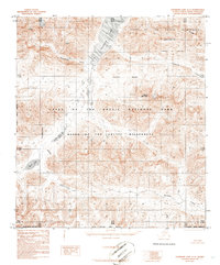
1986 · Chandler Lake A-5
USGS Topo · 1:63,360
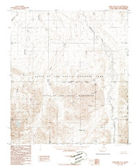
1986 · Killik River B-1
USGS Topo · 1:63,360
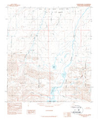
1987 · Chandler Lake B-5
USGS Topo · 1:63,360
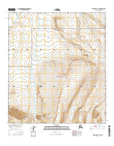
2016 · Killik River B-1 NW
USGS Topo · 1:25,000