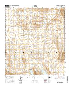
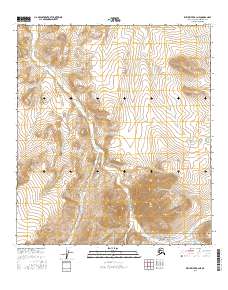
2016 Map of Killik River B-3 NW
USGS Topo · Published 2016About this map
Gates Of The Arctic National Park encompasses the southern portion of this landscape, where the high arctic tundra meets the Brooks Range. The terrain is defined by the northward flow of the Oolamnagavik River and the Kurupa River, which carve through the ridges of the North Slope. Significant water bodies like Kurupa Lake and Cascade Lake sit at the base of steep elevation gains, illustrating the glacial and hydrological patterns of this remote wilderness. The map details the transition from the lake basins into the headwaters of Heather Cr, providing a precise record of the drainage systems and topographic relief within the t12s r12w and t11s r11w township boundaries during the early twenty-first century.
Find a feature on this map
10 named features on this map. Tap any name to fly to it.
Don’t see what you’re looking for? This feature index may not catch every label — zoom into the map to look around manually.
Map Details
Editions of this 2016 Killik River B-3 NW Map
This is the sole edition of this map. No revisions or reprints were ever made.
Other maps of this area

1951 · Killik River
USGS Topo · 1:250,000

1956 · Killik River
USGS Topo · 1:250,000
1986 · Killik River C-3
USGS Topo · 1:63,360
1986 · Killik River C-4
USGS Topo · 1:63,360
1986 · Killik River B-4
USGS Topo · 1:63,360
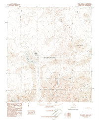
1986 · Killik River B-3
USGS Topo · 1:63,360
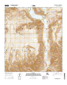
2016 · Killik River B-3 SW
USGS Topo · 1:25,000
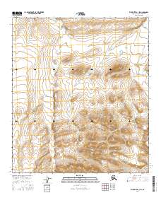
2016 · Killik River C-3 SW
USGS Topo · 1:25,000
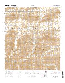
2016 · Killik River B-3 SE
USGS Topo · 1:25,000
2016 · Killik River B-3 NE
USGS Topo · 1:25,000