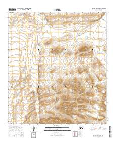
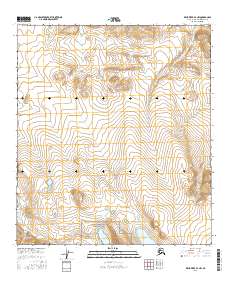
2016 Map of Killik River C-3 SW
USGS Topo · Published 2016About this map
The Oolamnagavik River flows through this portion of the North Slope, cutting through a landscape defined by dramatic elevation changes. In this northern expanse, Heather Cr winds through multiple townships, including t10s r12w and t9s r12w, illustrating the complex drainage patterns of the Alaskan wilderness. The survey, produced using data from the FWS National Wetlands Inventory and Alaska Dept. of Transportation, provides a detailed view of the terrain as it existed in the early twenty-first century. This map is an essential reference for understanding the hydrography of the region before any modern industrial or infrastructure shifts might alter these remote watercourses.
Find a feature on this map
8 named features on this map. Tap any name to fly to it.
Don’t see what you’re looking for? This feature index may not catch every label — zoom into the map to look around manually.
Map Details
Editions of this 2016 Killik River C-3 SW Map
This is the sole edition of this map. No revisions or reprints were ever made.
Other maps of this area

1951 · Killik River
USGS Topo · 1:250,000

1956 · Killik River
USGS Topo · 1:250,000
1986 · Killik River C-3
USGS Topo · 1:63,360
1986 · Killik River C-4
USGS Topo · 1:63,360
1986 · Killik River B-4
USGS Topo · 1:63,360
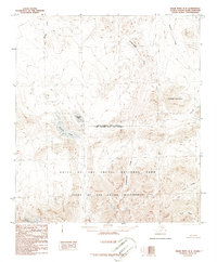
1986 · Killik River B-3
USGS Topo · 1:63,360
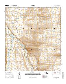
2016 · Killik River C-4 NE
USGS Topo · 1:25,000
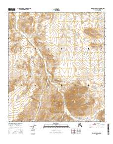
2016 · Killik River B-3 NE
USGS Topo · 1:25,000
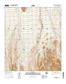
2016 · Killik River B-4 NE
USGS Topo · 1:25,000
2016 · Killik River B-3 NW
USGS Topo · 1:25,000