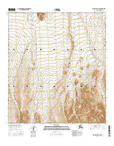
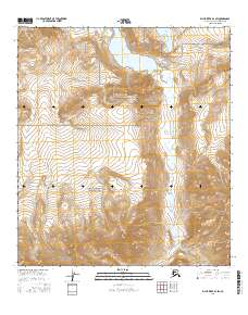
2016 Map of Killik River B-4 NE
USGS Topo · Published 2016About this map
Kurupa River flows along the eastern edge of this northern Alaskan landscape, carving a path through the wilderness of the North Slope. The terrain is defined by the significant elevations of the Kurupa Hills to the southeast, where steep contours indicate the rising foothills of the Brooks Range. In the western portion of the quadrangle, Outwash Cr drains through a more open, glacial landscape, reflecting the hydrological patterns typical of this arctic environment. The map shows no human settlements or infrastructure, highlighting the area's isolation and its status as a pristine natural corridor defined by seasonal water flow and topographical shifts between the high hills and lower drainage basins.
Find a feature on this map
9 named features on this map. Tap any name to fly to it.
Don’t see what you’re looking for? This feature index may not catch every label — zoom into the map to look around manually.
Map Details
Editions of this 2016 Killik River B-4 NE Map
This is the sole edition of this map. No revisions or reprints were ever made.
Other maps of this area

1951 · Killik River
USGS Topo · 1:250,000

1956 · Killik River
USGS Topo · 1:250,000
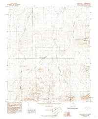
1986 · Killik River C-3
USGS Topo · 1:63,360
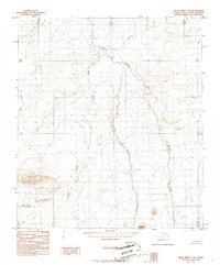
1986 · Killik River C-4
USGS Topo · 1:63,360
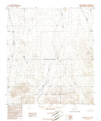
1986 · Killik River B-4
USGS Topo · 1:63,360
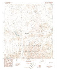
1986 · Killik River B-3
USGS Topo · 1:63,360
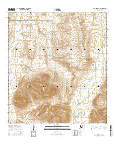
2016 · Killik River B-4 SW
USGS Topo · 1:25,000
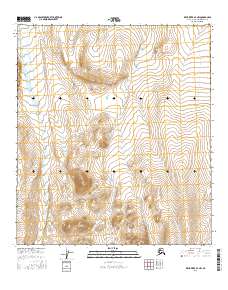
2016 · Killik River B-4 NW
USGS Topo · 1:25,000
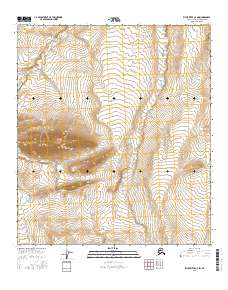
2016 · Killik River C-4 SW
USGS Topo · 1:25,000
2016 · Killik River B-3 SW
USGS Topo · 1:25,000