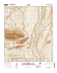
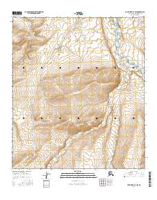
2016 Map of Killik River C-4 SW
USGS Topo · Published 2016About this map
Nogak Creek snakes through the high Arctic tundra in this northern interior landscape. The terrain is defined by dramatic elevation changes, notably a prominent ridge system rising sharply between t10s r15w and t10s r14w. This specific section of the North Slope reflects a primitive environment largely untouched by permanent settlement or infrastructure, documented through contour mapping and hydrographic data. The township and range lines provide the only human-imposed structure on an otherwise wild expanse of the Alaskan interior, illustrating the remote nature of the Brooks Range foothills where natural drainage patterns like those of Nogak Creek dictate the layout of the land.
Find a feature on this map
7 named features on this map. Tap any name to fly to it.
Don’t see what you’re looking for? This feature index may not catch every label — zoom into the map to look around manually.
Map Details
Editions of this 2016 Killik River C-4 SW Map
This is the sole edition of this map. No revisions or reprints were ever made.
Other maps of this area

1951 · Killik River
USGS Topo · 1:250,000

1956 · Killik River
USGS Topo · 1:250,000
1984 · Killik River B-5
USGS Topo · 1:63,360
1984 · Killik River C-5
USGS Topo · 1:63,360
1986 · Killik River C-4
USGS Topo · 1:63,360
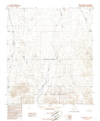
1986 · Killik River B-4
USGS Topo · 1:63,360
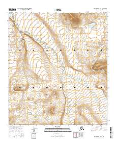
2016 · Killik River C-5 SE
USGS Topo · 1:25,000
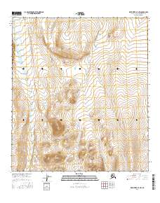
2016 · Killik River B-4 NW
USGS Topo · 1:25,000
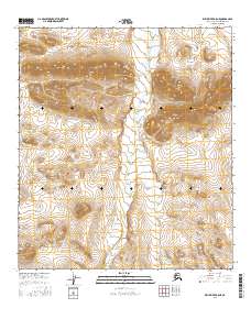
2016 · Killik River B-5 NE
USGS Topo · 1:25,000
2016 · Killik River C-4 NW
USGS Topo · 1:25,000