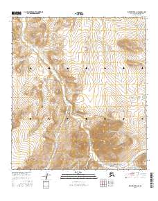
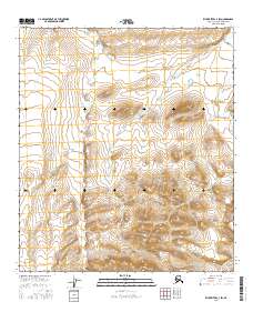
2016 Map of Killik River B-3 NE
USGS Topo · Published 2016About this map
Gates of the Arctic National Park encompasses the southern portion of this interior Alaskan landscape, where the Brooks Range terrain transitions between high peaks and river valleys. The prominent Kikiktat Mtn stands as a focal point in the southeast, surrounded by a complex network of drainage basins. This 2016 survey documents the untouched hydrography of the region, including the winding course of Imaitchiak Cr as it moves through the central sections and Travelair Cr in the east. Further south, Akmalik Cr cuts through the park boundary. The map provides a detailed view of the natural topography and watershed patterns within the North Slope Borough, illustrating the remote character of this protected wilderness area before modern shifts in land management or environmental change.
Find a feature on this map
9 named features on this map. Tap any name to fly to it.
Don’t see what you’re looking for? This feature index may not catch every label — zoom into the map to look around manually.
Map Details
Editions of this 2016 Killik River B-3 NE Map
This is the sole edition of this map. No revisions or reprints were ever made.
Other maps of this area

1951 · Killik River
USGS Topo · 1:250,000

1956 · Killik River
USGS Topo · 1:250,000
1986 · Killik River B-2
USGS Topo · 1:63,360
1986 · Killik River C-2
USGS Topo · 1:63,360
1986 · Killik River C-3
USGS Topo · 1:63,360
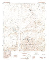
1986 · Killik River B-3
USGS Topo · 1:63,360
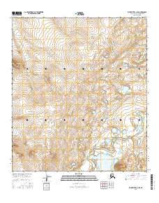
2016 · Killik River C-2 SW
USGS Topo · 1:25,000
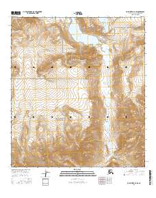
2016 · Killik River B-3 SW
USGS Topo · 1:25,000
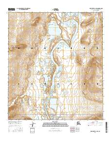
2016 · Killik River B-2 NW
USGS Topo · 1:25,000
2016 · Killik River C-3 SW
USGS Topo · 1:25,000