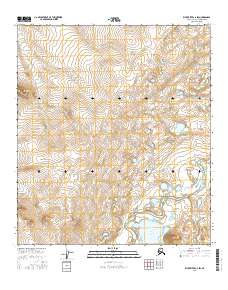
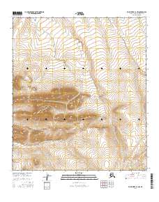
2016 Map of Killik River C-2 SW
USGS Topo · Published 2016About this map
Lake Udrivik sits at the base of the Itkilikruich Ridges in this remote section of the North Slope. The landscape is defined by the braided path of the Killik River as it moves north through the tundra, joined by the E Fork Oolahnagavik River. This 2016 survey highlights the complex hydrology of the Arctic coastal plain, showing the numerous unnamed thaw lakes and smaller drainage patterns that shift across the high latitudes. The topographical detail reveals the subtle elevation changes of the ridges, which provide a contrast to the water-dominated lowlands where the rivers meander and diverge.
Find a feature on this map
4 named features on this map. Tap any name to fly to it.
Don’t see what you’re looking for? This feature index may not catch every label — zoom into the map to look around manually.
Map Details
Editions of this 2016 Killik River C-2 SW Map
This is the sole edition of this map. No revisions or reprints were ever made.
Other maps of this area

1951 · Killik River
USGS Topo · 1:250,000

1956 · Killik River
USGS Topo · 1:250,000
1986 · Killik River B-2
USGS Topo · 1:63,360
1986 · Killik River C-2
USGS Topo · 1:63,360
1986 · Killik River C-3
USGS Topo · 1:63,360
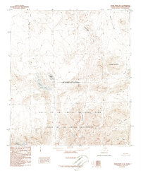
1986 · Killik River B-3
USGS Topo · 1:63,360
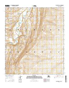
2016 · Killik River C-2 SE
USGS Topo · 1:25,000
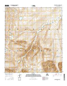
2016 · Killik River B-2 NE
USGS Topo · 1:25,000
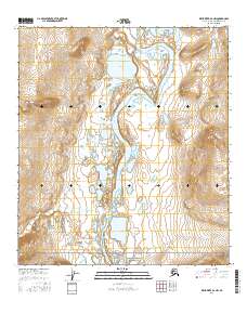
2016 · Killik River B-2 NW
USGS Topo · 1:25,000
2016 · Killik River C-2 NW
USGS Topo · 1:25,000