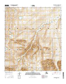
2016 Map of Killik River B-2 NE
USGS Topo · Published 2016About this map
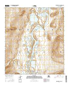
Gates of the Arctic National Park encompasses the southeastern portion of this map, reflecting the protected status of the Brooks Range wilderness in the North Slope region. The drainage patterns are defined by the Okpikruak River, which meanders through the central and eastern sections, and Silaliningua Cr in the southwest. The terrain is characterized by high-elevation contours and complex drainages typical of the northern interior of Alaska, where hydrological features provide the primary geographic markers in a landscape devoid of permanent road infrastructure or settlements. This survey provides a baseline of the Arctic environment at a time of continued geological and hydrological monitoring in the remote northern frontier.
Find a feature on this map
9 named features on this map. Tap any name to fly to it.
Don’t see what you’re looking for? This feature index may not catch every label — zoom into the map to look around manually.
Map Details
Editions of this 2016 Killik River B-2 NE Map
This is the sole edition of this map. No revisions or reprints were ever made.
Other maps of this area

1951 · Killik River
USGS Topo · 1:250,000

1956 · Killik River
USGS Topo · 1:250,000
1986 · Killik River B-2
USGS Topo · 1:63,360
1986 · Killik River C-2
USGS Topo · 1:63,360
1986 · Killik River B-1
USGS Topo · 1:63,360
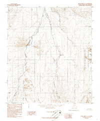
1986 · Killik River C-1
USGS Topo · 1:63,360
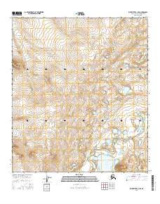
2016 · Killik River C-2 SW
USGS Topo · 1:25,000
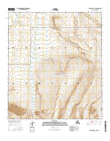
2016 · Killik River B-1 NW
USGS Topo · 1:25,000
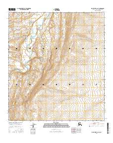
2016 · Killik River C-2 SE
USGS Topo · 1:25,000
2016 · Killik River B-2 NW
USGS Topo · 1:25,000