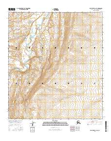
2016 Map of Killik River C-2 SE
USGS Topo · Published 2016About this map
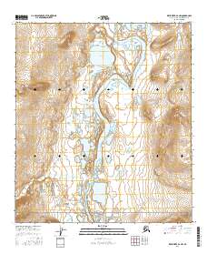
The Killik River winds through the northwestern corner of this remote Alaskan landscape, carving a path through the northern foothills of the Brooks Range. The river is the primary geographical anchor of the region, featuring the noted Sunday Rapids where the waterway negotiates the shifting elevation of the North Slope. Aside from these water features, the area is defined by the Public Land Survey System grid, which divides the terrain into townships such as t10s r8w and t11s r8w. The contour lines illustrate a landscape of significant relief, showing the transition from river valleys to high ridges in a wilderness area devoid of permanent settlements or modern road infrastructure during this mid-2010s survey.
Find a feature on this map
11 named features on this map. Tap any name to fly to it.
Don’t see what you’re looking for? This feature index may not catch every label — zoom into the map to look around manually.
Map Details
Editions of this 2016 Killik River C-2 SE Map
This is the sole edition of this map. No revisions or reprints were ever made.
Other maps of this area

1951 · Killik River
USGS Topo · 1:250,000

1956 · Killik River
USGS Topo · 1:250,000
1986 · Killik River B-2
USGS Topo · 1:63,360
1986 · Killik River C-2
USGS Topo · 1:63,360
1986 · Killik River B-1
USGS Topo · 1:63,360
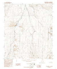
1986 · Killik River C-1
USGS Topo · 1:63,360
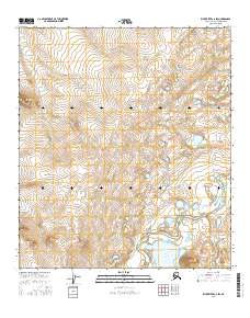
2016 · Killik River C-2 SW
USGS Topo · 1:25,000
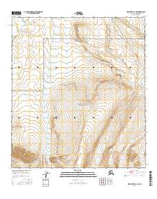
2016 · Killik River B-1 NW
USGS Topo · 1:25,000
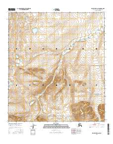
2016 · Killik River B-2 NE
USGS Topo · 1:25,000
2016 · Killik River B-2 NW
USGS Topo · 1:25,000