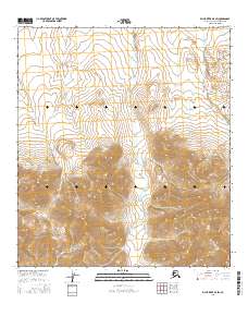
2016 Map of Killik River B-5 SW
USGS Topo · Published 2016About this map
Iteriak Creek flows northward through this unpopulated expanse of the North Slope, slicing through a landscape defined by significant elevation changes. This U.S. Geological Survey topographic study captures the high-altitude terrain of the Killik River region, where the drainage systems of Iteriak Cr and Otuk Creek establish the primary geographical features. The absence of permanent structures, roads, or named landmarks beyond these waterways underscores the isolation of this Arctic environment. Mapped using 2015 SPOT imagery and National Elevation Dataset contours, the sheet provides a precise look at the township and range divisions, including the meeting of t34n r13e and t33n r13e, which govern this part of the Alaska North Slope Borough.
Find a feature on this map
10 named features on this map. Tap any name to fly to it.
Don’t see what you’re looking for? This feature index may not catch every label — zoom into the map to look around manually.
Map Details
Editions of this 2016 Killik River B-5 SW Map
This is the sole edition of this map. No revisions or reprints were ever made.
Other maps of this area

1951 · Howard Pass
USGS Topo · 1:250,000

1951 · Killik River
USGS Topo · 1:250,000

1956 · Howard Pass
USGS Topo · 1:250,000

1956 · Killik River
USGS Topo · 1:250,000
1984 · Killik River B-5
USGS Topo · 1:63,360
1984 · Howard Pass B-1
USGS Topo · 1:63,360
1984 · Killik River A-5
USGS Topo · 1:63,360
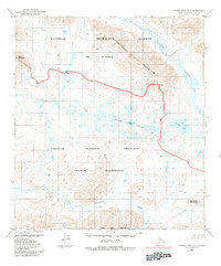
1984 · Howard Pass A-1
USGS Topo · 1:63,360
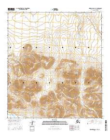
2016 · Howard Pass B-1 SE
USGS Topo · 1:25,000
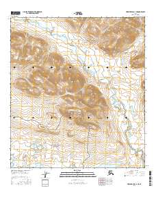
2016 · Howard Pass A-1 NE
USGS Topo · 1:25,000