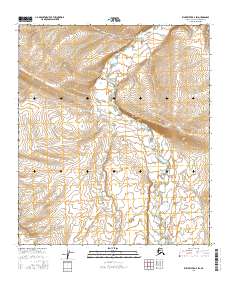
2016 Map of Killik River D-4 SW
USGS Topo · Published 2016About this map
Kurupa River defines the primary drainage of this arctic landscape, winding through the remote terrain of the North Slope. This 2016 survey, based on imagery from the U.S. Geological Survey and SPOT, illustrates the vast and largely uninhabited expanse of the Brooks Range foothills. The map details the intricate hydrography of the river corridor within the Public Land Survey System boundaries of t6s r14w, t7s r14w, and t8s r14w. The topographic data reveals the complex elevation changes and drainage patterns characteristic of the Killik River region, highlighting how the water systems shape the northern Alaskan wilderness. Researchers can trace the river's path as it meanders through the survey townships, providing a clear record of the hydrological state of the region in the early twenty-first century.
Find a feature on this map
7 named features on this map. Tap any name to fly to it.
Don’t see what you’re looking for? This feature index may not catch every label — zoom into the map to look around manually.
Map Details
Editions of this 2016 Killik River D-4 SW Map
This is the sole edition of this map. No revisions or reprints were ever made.
Other maps of this area

1951 · Killik River
USGS Topo · 1:250,000

1956 · Killik River
USGS Topo · 1:250,000

1984 · Killik River D-5
USGS Topo · 1:63,360
1984 · Killik River C-5
USGS Topo · 1:63,360
1986 · Killik River C-4
USGS Topo · 1:63,360
1986 · Killik River D-4
USGS Topo · 1:63,360
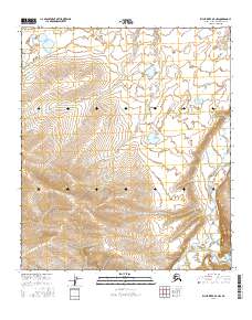
2016 · Killik River D-4 NW
USGS Topo · 1:25,000
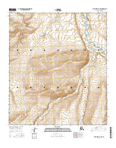
2016 · Killik River C-4 NW
USGS Topo · 1:25,000
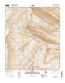
2016 · Killik River D-5 SE
USGS Topo · 1:25,000
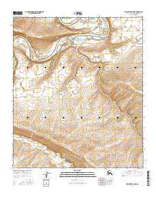
2016 · Killik River D-5 NE
USGS Topo · 1:25,000