
1917 Map of Kilmarnock
USGS Topo · Published 1917About this map
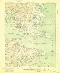
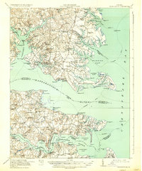
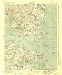
Kilmarnock and the surrounding Tidewater region are defined here by a maritime landscape of deep inlets and river commerce just before the United States entered the Great War. The map details a complex network of landings and wharves, such as Whitestone Wharf and North End Wharf, which served as vital connections for the Steamboat Route threading through the Rappahannock River and Fleets Bay. The distribution of educational and religious centers, including the Lancaster Training School and the Old Brick Church, reflects the established rural communities of the Northern Neck and Middle Peninsula.
Find a feature on this map
144 named features on this map. Tap any name to fly to it.
Don’t see what you’re looking for? This feature index may not catch every label — zoom into the map to look around manually.
Map Details
Editions of this 1917 Kilmarnock Map
4 editions found
Other maps of this area

1906 · Williamsburg
USGS Topo · 1:62,500

1916 · Kilmarnock
USGS Topo · 1:48,000

1916 · Mathews
USGS Topo · 1:62,500

1917 · Heathsville
USGS Topo · 1:48,000

1917 · Urbanna
USGS Topo · 1:62,500

1917 · Morattico
USGS Topo · 1:62,500

1917 · Ewell
USGS Topo · 1:62,500

1917 · Mathews
USGS Topo · 1:62,500

1918 · Morattico
USGS Topo · 1:62,500

1926 · Morattico
USGS Topo · 1:62,500