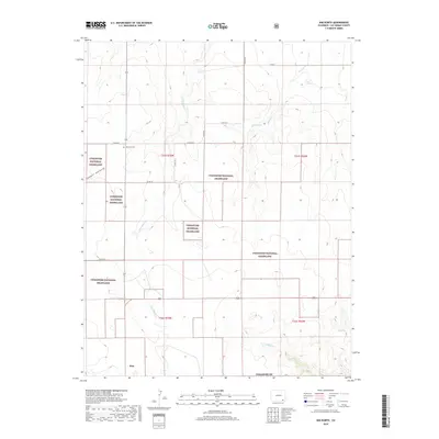
2019 Map of Kim North
USGS Topo · Published 2019About this map
Kim anchors the southern edge of this landscape in Las Animas County, where the high plains meet the intricate drainage systems of the Comanche National Grassland. The map reveals a transition from the structured township grids to the dissected terrain of the Pintada Cr and Two Butte Cr watersheds. Local history is etched into the map through the Granada-Ft. Union Military route, which cuts across the western sections, and the presence of the Edenview Cem near the junction of several county roads. The landscape is defined by intermittent water sources like Willow Spring and the meandering path of Dugout Cr, illustrating the vital role of water management in this high-altitude grassland environment.
Find a feature on this map
23 named features on this map. Tap any name to fly to it.
Don’t see what you’re looking for? This feature index may not catch every label — zoom into the map to look around manually.
Map Details
Editions of this 2019 Kim North Map
This is the sole edition of this map. No revisions or reprints were ever made.
Other maps of this area

1892 · Mt Carrizo
USGS Topo · 1:125,000

1955 · La Junta
USGS Topo · 1:250,000

1958 · La Junta
USGS Topo · 1:250,000

1968 · La Junta
USGS Topo · 1:250,000
1978 · Dalerose Mesa
USGS Topo · 1:24,000

1978 · Pintada Creek
USGS Topo · 1:24,000
1978 · Robbers Roost Canyon
USGS Topo · 1:24,000
1978 · Icehouse Canyon
USGS Topo · 1:24,000
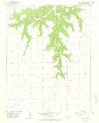
1978 · Cherry Canyon
USGS Topo · 1:24,000
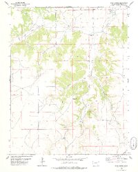
1978 · Buck Canyon
USGS Topo · 1:24,000