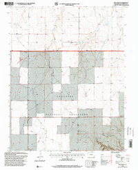
1996 Map of Kim North
USGS Topo · Published 2000About this map
Santa Fe National Historic Trail and the Granada-Fort Union Route cut horizontally across this high plains landscape, marking the enduring corridors of 19th-century trade and migration. This 1996 revision by the Forest Service highlights the expansive reach of the Comanche National Grassland, where the drainage patterns of Butte Creek, Two Butte Creek, and Dugout Creek carve into the terrain.
Find a feature on this map
13 named features on this map. Tap any name to fly to it.
Don’t see what you’re looking for? This feature index may not catch every label — zoom into the map to look around manually.
Map Details
Editions of this 1996 Kim North Map
This is the sole edition of this map. No revisions or reprints were ever made.
Other maps of this area

1892 · Mt Carrizo
USGS Topo · 1:125,000

1955 · La Junta
USGS Topo · 1:250,000

1958 · La Junta
USGS Topo · 1:250,000

1968 · La Junta
USGS Topo · 1:250,000
1978 · Dalerose Mesa
USGS Topo · 1:24,000

1978 · Pintada Creek
USGS Topo · 1:24,000
1978 · Robbers Roost Canyon
USGS Topo · 1:24,000
1978 · Icehouse Canyon
USGS Topo · 1:24,000
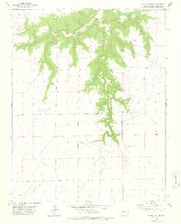
1978 · Cherry Canyon
USGS Topo · 1:24,000
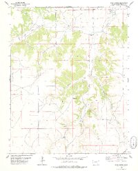
1978 · Buck Canyon
USGS Topo · 1:24,000