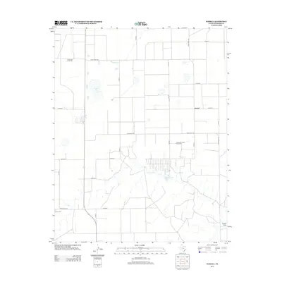
2012 Map of Kimball
USGS Topo · Published 2012About this map
Shapley Gas and Oil Field and the Hansford North Gas and Oil Field define the industrial character of this Hansford County landscape. The terrain is structured by a rigid grid of ranch roads and county routes, including Ranch Road 1261 and Co Road L, which intersect near the small settlement of Kimball. The mapping reveals a dependence on managed water resources in this High Plains environment, evidenced by Millers Lake and Cargill Industries Lake. Local history is anchored by the Gruver Cem in the southwestern corner, while natural drainage features like Hackberry Cr and Farwell Draw provide the only breaks in the geometric agricultural and energy-extraction patterns.
Find a feature on this map
25 named features on this map. Tap any name to fly to it.
Don’t see what you’re looking for? This feature index may not catch every label — zoom into the map to look around manually.
Map Details
Editions of this 2012 Kimball Map
This is the sole edition of this map. No revisions or reprints were ever made.
Other maps of this area

1954 · Perryton
USGS Topo · 1:250,000

1958 · Perryton
USGS Topo · 1:250,000

1962 · Kimball
USGS Topo · 1:24,000

1962 · Hansford Camp
USGS Topo · 1:24,000

1962 · Hansford
USGS Topo · 1:24,000

1962 · Waka SW
USGS Topo · 1:24,000

1962 · Spearman
USGS Topo · 1:24,000

1973 · Gruver
USGS Topo · 1:24,000

1974 · Hannas Draw East
USGS Topo · 1:24,000

1974 · Bernstein
USGS Topo · 1:24,000