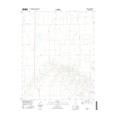
2016 Map of Kimball
USGS Topo · Published 2016About this map
Industrial land use and water management define this portion of Hansford County. The landscape is dominated by large-scale agricultural and industrial features, most notably the Cargill Industries Lake, which sits at the heart of a complex drainage network. This area is characterized by the transition from flat upland plains into the dissected terrain of Farwell Draw and the course of Hackberry Creek.
Find a feature on this map
21 named features on this map. Tap any name to fly to it.
Don’t see what you’re looking for? This feature index may not catch every label — zoom into the map to look around manually.
Map Details
Editions of this 2016 Kimball Map
This is the sole edition of this map. No revisions or reprints were ever made.
Other maps of this area

1954 · Perryton
USGS Topo · 1:250,000

1958 · Perryton
USGS Topo · 1:250,000

1962 · Kimball
USGS Topo · 1:24,000

1962 · Hansford Camp
USGS Topo · 1:24,000

1962 · Hansford
USGS Topo · 1:24,000

1962 · Waka SW
USGS Topo · 1:24,000

1962 · Spearman
USGS Topo · 1:24,000

1973 · Gruver
USGS Topo · 1:24,000

1974 · Hannas Draw East
USGS Topo · 1:24,000

1974 · Bernstein
USGS Topo · 1:24,000