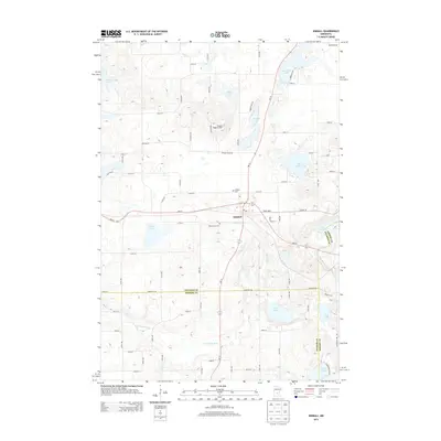
2013 Map of Kimball
USGS Topo · Published 2013About this map
The city of Kimball serves as the focal point of this Central Minnesota landscape, situated at the junction of MN-15 and MN-55. The settlement is flanked by Kimball Cem to the north and Saint Annes Cem to the south, providing clear reference points for genealogists and local historians. North of the town center, the Powder Ridge Ski Area occupies the high ground, while a dense network of glacial lakes and wetlands characterizes the surrounding terrain.
Find a feature on this map
74 named features on this map. Tap any name to fly to it.
Don’t see what you’re looking for? This feature index may not catch every label — zoom into the map to look around manually.
Map Details
Editions of this 2013 Kimball Map
This is the sole edition of this map. No revisions or reprints were ever made.
Other maps of this area

1951 · Annandale
USGS Topo · 1:62,500

1953 · Saint Cloud
USGS Topo · 1:250,000

1957 · Saint Cloud
USGS Topo · 1:250,000

1958 · Saint Cloud
USGS Topo · 1:250,000

1958 · Dassel
USGS Topo · 1:62,500

1958 · Cokato
USGS Topo · 1:62,500

1967 · Cold Spring
USGS Topo · 1:24,000

1967 · Watkins
USGS Topo · 1:24,000

1967 · Rockville
USGS Topo · 1:24,000

1967 · Kimball
USGS Topo · 1:24,000
Featured Places
- Kimball, MN
- Maine Prairie Township, MN
- Fair Haven Township, MN
- Southside Township, MN
- Stearns County, MN