Loading...
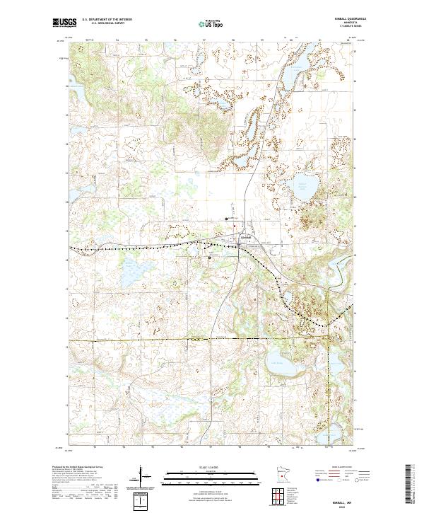
Loading map...2022 Map of Kimball
USGS Topo · Published 2022About this map
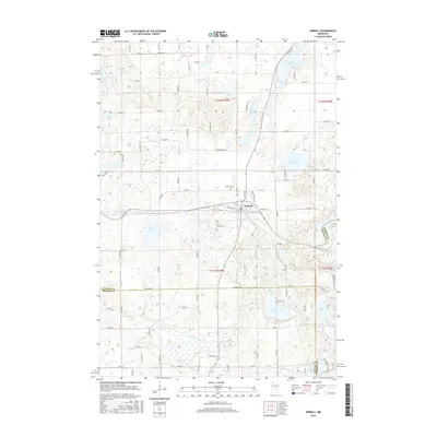
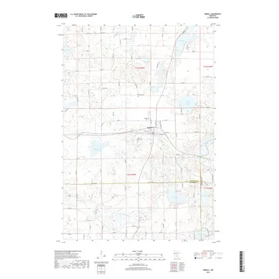
The city of Kimball serves as the central hub of this Central Minnesota landscape, situated at the junction of several county routes and local streets like Hazel Ave W. The terrain is defined by a dense network of glacial lakes and wetlands, where the Clearwater River winds through the southern reaches of the quadrangle. Local heritage is grounded in sites like Kimball Cem and Saint Annes Cem, located just outside the main settlement area.
Find a feature on this map
56 named features on this map. Tap any name to fly to it.
Don’t see what you’re looking for? This feature index may not catch every label — zoom into the map to look around manually.
Map Details
Date Portrayed2022
Date Published2022
PublisherU.S. Geological Survey
Map TypeTopographic
Scale1:24,000
Physical Dimensions24 x 29 inches
Editions of this 2022 Kimball Map
This is the sole edition of this map. No revisions or reprints were ever made.
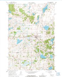
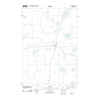
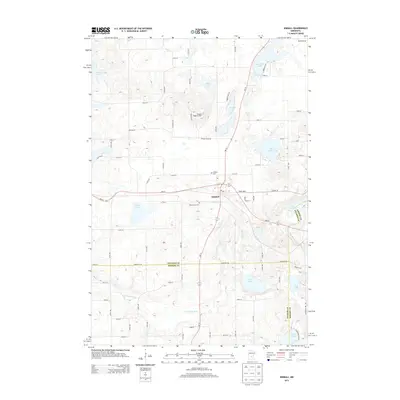
Historical Maps of Kimball Through Time
6 maps found
Featured Locations
- Stearns County, MN
- Fair Haven Township, MN
- Kimball, MN
- Maine Prairie Township, MN
- Southside Township, MN
Source Details
SourceU.S. Geological Survey
CopyrightPublic Domain