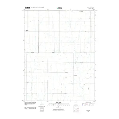
2009 Map of Kimeo
USGS Topo · Published 2009About this map
Kimeo and the surrounding farmland of Washington County are defined by a grid of rural roads and the meandering paths of local waterways. This 2009 survey shows a landscape organized by section lines, where thoroughfares like Parallel Rd and Victory Rd facilitate movement across the agricultural terrain. The drainage of the region is managed by several significant streams, including Deadman Creek, which winds southward toward West Fancy Creek, and the North Fork Fancy Creek in the eastern reaches. The northern edge of the quadrangle includes the small settlement of Chepstow. For those researching local family history, the Appleton Cemetery remains a primary landmark in the southwest, while named routes such as Jerusalem Rd and Bodaville Rd preserve local identifiers from previous generations of land use.
Find a feature on this map
31 named features on this map. Tap any name to fly to it.
Don’t see what you’re looking for? This feature index may not catch every label — zoom into the map to look around manually.
Map Details
Editions of this 2009 Kimeo Map
This is the sole edition of this map. No revisions or reprints were ever made.
Other maps of this area

1886 · Junction City
USGS Topo · 1:125,000

1889 · Marysville
USGS Topo · 1:125,000

1889 · Junction City
USGS Topo · 1:125,000

1891 · Clay Center
USGS Topo · 1:125,000

1893 · Washington
USGS Topo · 1:125,000

1894 · Junction City
USGS Topo · 1:125,000

1894 · Marysville
USGS Topo · 1:125,000

1955 · Manhattan
USGS Topo · 1:250,000

1956 · Manhattan
USGS Topo · 1:250,000

1957 · Manhattan
USGS Topo · 1:250,000