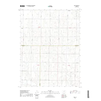
2018 Map of Kimeo
USGS Topo · Published 2018About this map
Kimeo and Chepstow anchor the northern landscape of this region where Washington, Clay, and Riley counties meet. The terrain is defined by the drainage basins of N Fork Fancy Cr and Deadman Cr, which carve through the agricultural uplands. A grid of section-line roads provides the primary structure for the area, including several with names that hint at the westward migration history of Kansas, such as Wagon Train Rd and Victory Rd. In the southwestern portion of the sheet, Appleton Cem serves as a significant genealogical marker near the junction of Utah Rd and 28th Rd. The southern boundary follows W Fancy Cr, while the central east-west corridor is dominated by Parallel Rd and Co Hwy 362, connecting the isolated farmsteads and rural communities of the tallgrass prairie.
Find a feature on this map
42 named features on this map. Tap any name to fly to it.
Don’t see what you’re looking for? This feature index may not catch every label — zoom into the map to look around manually.
Map Details
Editions of this 2018 Kimeo Map
This is the sole edition of this map. No revisions or reprints were ever made.
Other maps of this area

1886 · Junction City
USGS Topo · 1:125,000

1889 · Marysville
USGS Topo · 1:125,000

1889 · Junction City
USGS Topo · 1:125,000

1891 · Clay Center
USGS Topo · 1:125,000

1893 · Washington
USGS Topo · 1:125,000

1894 · Junction City
USGS Topo · 1:125,000

1894 · Marysville
USGS Topo · 1:125,000

1955 · Manhattan
USGS Topo · 1:250,000

1956 · Manhattan
USGS Topo · 1:250,000

1957 · Manhattan
USGS Topo · 1:250,000