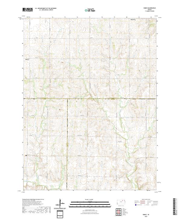
2022 Map of Kimeo
USGS Topo · Published 2022About this map
Kimeo and Chepstow anchor this agricultural landscape in north-central Kansas, where the borders of Washington, Clay, and Riley counties converge. The terrain is defined by the drainage patterns of Deadman Cr and N Fork Fancy Cr, with the latter winding through the eastern sections of the quadrangle. A strictly organized grid of rural roads, including evocatively named routes like Wagon Train Rd, Yankee Rd, and Victory Rd, facilitates the movement of goods and people across the high plains. For genealogists and local historians, Appleton Cem in the southwestern quadrant provides a specific point of interest within the sparsely populated townships. The map illustrates the persistence of small, named settlements and the enduring importance of water sources like W Fancy Cr in an environment shaped by section-line farming and long-established county boundaries.
Find a feature on this map
42 named features on this map. Tap any name to fly to it.
Don’t see what you’re looking for? This feature index may not catch every label — zoom into the map to look around manually.
Map Details
Editions of this 2022 Kimeo Map
This is the sole edition of this map. No revisions or reprints were ever made.
Other maps of this area

1886 · Junction City
USGS Topo · 1:125,000

1889 · Marysville
USGS Topo · 1:125,000

1889 · Junction City
USGS Topo · 1:125,000

1891 · Clay Center
USGS Topo · 1:125,000

1893 · Washington
USGS Topo · 1:125,000

1894 · Junction City
USGS Topo · 1:125,000

1894 · Marysville
USGS Topo · 1:125,000

1955 · Manhattan
USGS Topo · 1:250,000

1956 · Manhattan
USGS Topo · 1:250,000

1957 · Manhattan
USGS Topo · 1:250,000