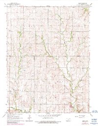
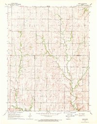
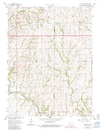
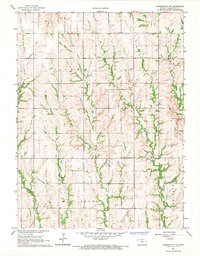
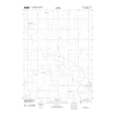
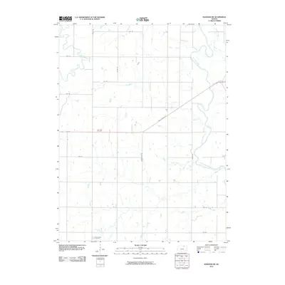
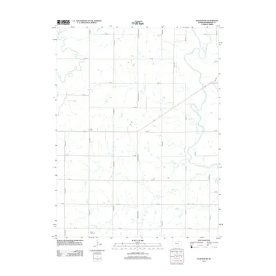
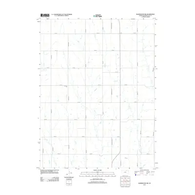
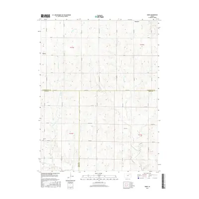
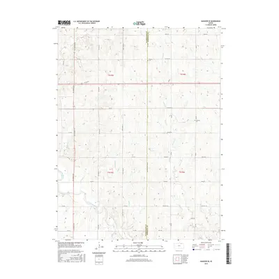
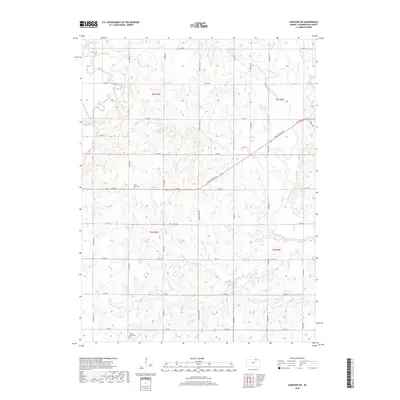
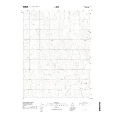
1968 Map of Kimeo
USGS Topo · Published 1983About this map
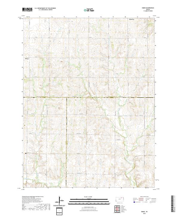
Kimeo and Chepstow anchor the northern landscape of this North Central Kansas survey, where the rolling uplands of Kimeo, Lincoln, and Goshen townships meet. The terrain is defined by the branching drainage of Fancy Creek, including the winding North Fork and West Fancy Creek. This map reveals a late 1960s rural landscape where community life centered around landmarks like the Townhall and local congregations at St Peter Ch and Fancy Creek Ch.
Find a feature on this map
19 named features on this map. Tap any name to fly to it.
Don’t see what you’re looking for? This feature index may not catch every label — zoom into the map to look around manually.
Map Details
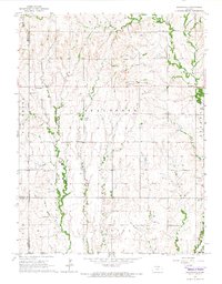
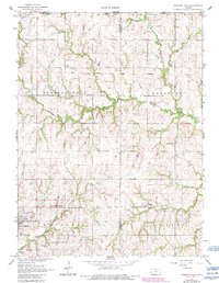
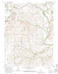
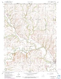
Editions of this 1968 Kimeo Map
2 editions found
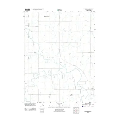
Historical Maps of Kimeo Through Time
48 maps found
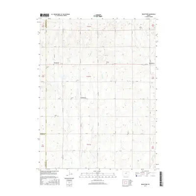
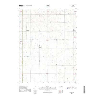
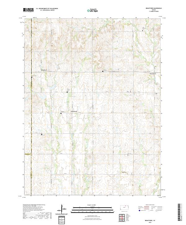
1965 Brantford
Washington County, KS
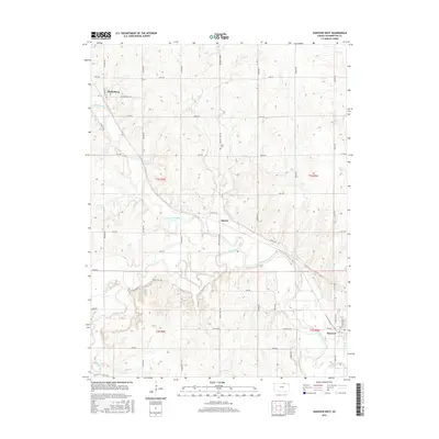
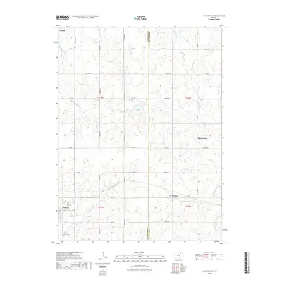
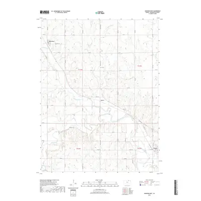
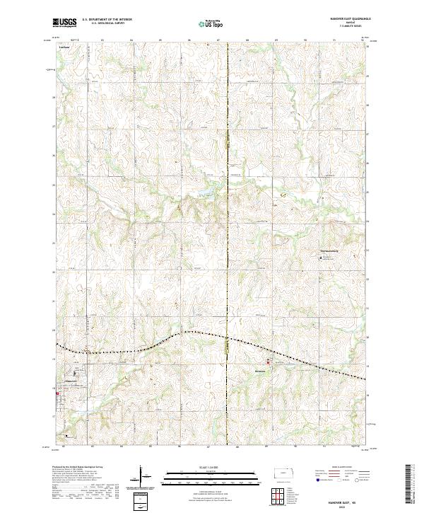
1966 Hanover East
Washington County, KS
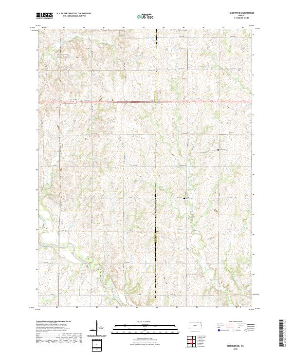
1966 Hanover SE
Washington County, KS
1966 Hanover SW
Washington County, KS
1966 Hanover West
Washington County, KS
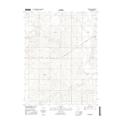
1966 Washington NE
Washington County, KS
1966 Washington NW
Washington County, KS
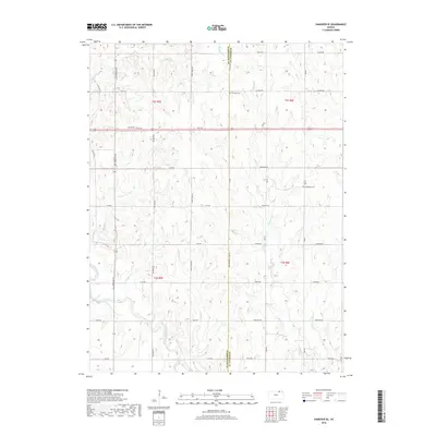
1968 Kimeo
Washington County, KS
2009 Brantford
Washington County, KS
2009 Hanover East
Washington County, KS
2009 Hanover SE
Washington County, KS
2009 Hanover West
Washington County, KS
2009 Kimeo
Washington County, KS
2009 Washington NE
Washington County, KS
2009 Washington NW
Washington County, KS
2010 Hanover SW
Washington County, KS
2012 Brantford
Washington County, KS
2012 Hanover East
Washington County, KS
2012 Hanover SE
Washington County, KS
2012 Hanover SW
Washington County, KS
2012 Hanover West
Washington County, KS
2012 Kimeo
Washington County, KS
2012 Washington NE
Washington County, KS
2012 Washington NW
Washington County, KS
2015 Brantford
Washington County, KS
2015 Hanover SW
Washington County, KS
2015 Hanover West
Washington County, KS
2015 Kimeo
Washington County, KS
2015 Washington NE
Washington County, KS
2015 Washington NW
Washington County, KS
2016 Hanover East
Washington County, KS
2016 Hanover SE
Washington County, KS
2018 Brantford
Washington County, KS
2018 Hanover East
Washington County, KS
2018 Hanover SE
Washington County, KS
2018 Hanover SW
Washington County, KS
2018 Hanover West
Washington County, KS
2018 Kimeo
Washington County, KS
2018 Washington NE
Washington County, KS
2018 Washington NW
Washington County, KS
2022 Brantford
Washington County, KS
2022 Hanover East
Washington County, KS
2022 Hanover SE
Washington County, KS
2022 Hanover SW
Washington County, KS
2022 Hanover West
Washington County, KS
2022 Kimeo
Washington County, KS
2022 Washington NE
Washington County, KS

2022 Washington NW
Washington County, KS