
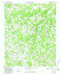
1970 Map of Kimesville
USGS Topo · Published 1973About this map
The rolling Piedmont landscape at the intersection of Guilford, Alamance, and Randolph Counties is defined by the complex drainage of Stinking Quarter Creek and its many prongs. Near the settlement of Kimesville, the waters are harnessed at Kimesville Lake, while further east, Timber Ridge Lake sits adjacent to the county line. This 1970 field-checked survey reveals a rural society structured around local congregation centers and small airfields, such as Causey Airfield and a secondary Landing Strip further south.
Find a feature on this map
30 named features on this map. Tap any name to fly to it.
Don’t see what you’re looking for? This feature index may not catch every label — zoom into the map to look around manually.
Map Details
Editions of this 1970 Kimesville Map
2 editions found
Other maps of this area

1952 · Mc Leansville
USGS Topo · 1:24,000

1953 · Raleigh
USGS Topo · 1:250,000

1953 · Greensboro
USGS Topo · 1:250,000

1954 · Greensboro
USGS Topo · 1:250,000

1954 · Raleigh
USGS Topo · 1:250,000

1962 · Greensboro
USGS Topo · 1:250,000

1966 · Greensboro
USGS Topo · 1:250,000

1969 · Burlington
USGS Topo · 1:24,000

1970 · Gibsonville
USGS Topo · 1:24,000
1970 · Climax
USGS Topo · 1:24,000