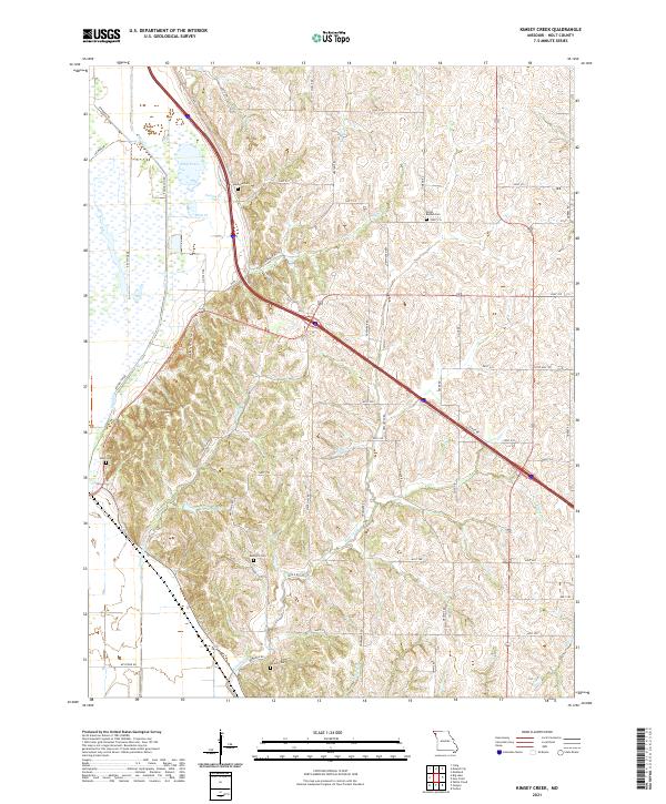
2021 Map of Kimsey Creek
USGS Topo · Published 2021About this map
Kimsey Creek and its many tributaries, including Swope Creek and Blair Creek, carve a rolling landscape through Holt County. This region is defined by a dense network of family-named cemeteries and rural homesteads that reflect generations of settlement. Genealogists can locate several burial grounds such as South Bethel Cemetery, Baldwin Cemetery, and Roderick Cemetery, which serve as vital landmarks for local history.
Find a feature on this map
51 named features on this map. Tap any name to fly to it.
Don’t see what you’re looking for? This feature index may not catch every label — zoom into the map to look around manually.
Map Details
Editions of this 2021 Kimsey Creek Map
This is the sole edition of this map. No revisions or reprints were ever made.
Other maps of this area

1885 · Atchison
USGS Topo · 1:125,000

1888 · Atchison
USGS Topo · 1:125,000

1893 · Atchison
USGS Topo · 1:125,000

1920 · Craig
USGS Topo · 1:62,500

1926 · Oregon
USGS Topo · 1:62,500

1926 · Maitland
USGS Topo · 1:62,500

1950 · Kansas City
USGS Topo · 1:250,000

1954 · Kansas City
USGS Topo · 1:250,000

1955 · Nebraska City
USGS Topo · 1:250,000

1956 · Kansas City
USGS Topo · 1:250,000