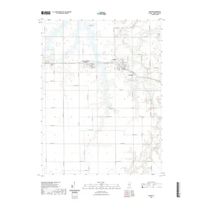
2021 Map of Kincaid
USGS Topo · Published 2021About this map
The South Fork Sangamon River winds through the northern reach of this central Illinois landscape, defining a corridor of complex hydrology that contrasts with the surrounding agricultural grid. A string of closely spaced settlements—including Kincaid, Bulpitt, Tovey, and Jeisyville—stretches across the central portion of the map, suggesting a history of industrial or transit-oriented development along the primary east-west road. Smaller, outlying communities like Sicily and the Tovey Humphrey Station area add to the picture of a densely settled rural district.
Find a feature on this map
35 named features on this map. Tap any name to fly to it.
Don’t see what you’re looking for? This feature index may not catch every label — zoom into the map to look around manually.
Map Details
Editions of this 2021 Kincaid Map
This is the sole edition of this map. No revisions or reprints were ever made.
Other maps of this area
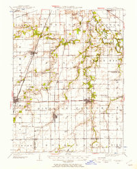
1922 · Divernon
USGS Topo · 1:62,500
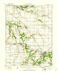
1923 · Taylorville
USGS Topo · 1:62,500
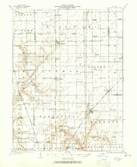
1923 · Raymond
USGS Topo · 1:62,500
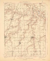
1924 · Divernon
USGS Topo · 1:62,500
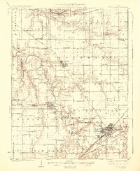
1925 · Taylorville
USGS Topo · 1:62,500
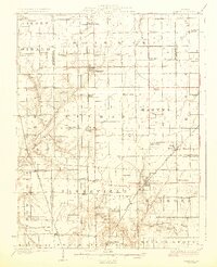
1925 · Raymond
USGS Topo · 1:62,500
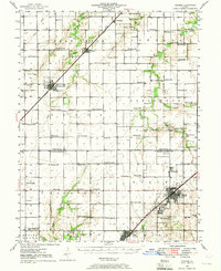
1946 · Nokomis
USGS Topo · 1:62,500
1949 · Nokomis
USGS Topo · 1:62,500

1958 · Decatur
USGS Topo · 1:250,000
1961 · New City
USGS Topo · 1:24,000