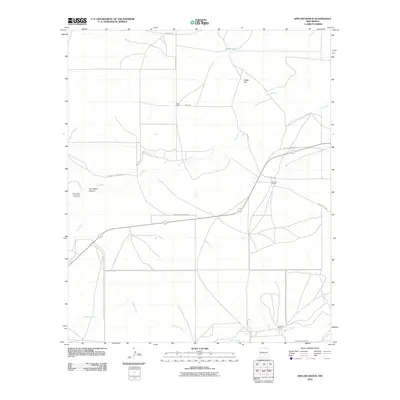
2010 Map of Kincaid Ranch
USGS Topo · Published 2010About this map
Rio Felix and Walnut Creek define the arid drainage patterns of this high-plains landscape in Chaves County. This 2010 USGS survey reflects the enduring cattle ranching tradition of the region, anchored by established properties such as Kincaid Ranch and Price Ranch. The terrain is marked by dry watercourses and topographic depressions like Made Tank and Made Flat, which are essential features for land management in this environment.
Find a feature on this map
16 named features on this map. Tap any name to fly to it.
Don’t see what you’re looking for? This feature index may not catch every label — zoom into the map to look around manually.
Map Details
Editions of this 2010 Kincaid Ranch Map
This is the sole edition of this map. No revisions or reprints were ever made.
Other maps of this area

1949 · Peters Lake
USGS Topo · 1:24,000

1949 · Juan Lake
USGS Topo · 1:24,000

1954 · Carlsbad
USGS Topo · 1:250,000

1955 · Hope NW
USGS Topo · 1:24,000

1955 · Hackberry Ranch
USGS Topo · 1:24,000

1955 · Kincaid Ranch
USGS Topo · 1:24,000

1955 · Hope NE
USGS Topo · 1:24,000

1955 · Roswell
USGS Topo · 1:250,000

1958 · Carlsbad
USGS Topo · 1:250,000

1958 · Roswell
USGS Topo · 1:250,000