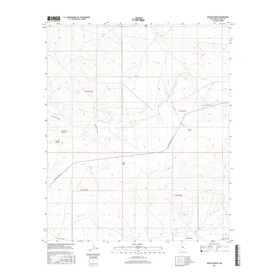
2017 Map of Kincaid Ranch
USGS Topo · Published 2017About this map
Kincaid Ranch sits as the primary named settlement in this arid section of Chaves County, positioned where the high plains meet a complex network of ephemeral drainages. The landscape is defined by the winding course of the Rio Felix, which meanders across the central portion of the map, carving through the terrain alongside features like Twin Butte Canyon and Crooked Canyon. This 2017 survey reflects a remote ranching environment where water management is critical, evidenced by the presence of Made Tank and several named draws including Made Draw and Loin Draw.
Find a feature on this map
20 named features on this map. Tap any name to fly to it.
Don’t see what you’re looking for? This feature index may not catch every label — zoom into the map to look around manually.
Map Details
Editions of this 2017 Kincaid Ranch Map
This is the sole edition of this map. No revisions or reprints were ever made.
Other maps of this area

1949 · Peters Lake
USGS Topo · 1:24,000

1949 · Juan Lake
USGS Topo · 1:24,000

1954 · Carlsbad
USGS Topo · 1:250,000

1955 · Hope NW
USGS Topo · 1:24,000

1955 · Hackberry Ranch
USGS Topo · 1:24,000

1955 · Kincaid Ranch
USGS Topo · 1:24,000

1955 · Hope NE
USGS Topo · 1:24,000

1955 · Roswell
USGS Topo · 1:250,000

1958 · Carlsbad
USGS Topo · 1:250,000

1958 · Roswell
USGS Topo · 1:250,000