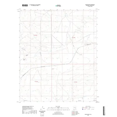
2020 Map of Kincaid Ranch
USGS Topo · Published 2020About this map
Kincaid Ranch sits at the heart of this landscape in Chaves County, where the desert terrain is carved by a network of drainage systems. The Rio Felix meanders through the central section, flanked by distinctive landforms such as Twin Butte Canyon and Crooked Canyon. This modern survey reveals a region defined by ranching infrastructure and a sparse but vital water network, including Made Tank and Crooked Cr.
Find a feature on this map
22 named features on this map. Tap any name to fly to it.
Don’t see what you’re looking for? This feature index may not catch every label — zoom into the map to look around manually.
Map Details
Editions of this 2020 Kincaid Ranch Map
This is the sole edition of this map. No revisions or reprints were ever made.
Other maps of this area

1949 · Peters Lake
USGS Topo · 1:24,000

1949 · Juan Lake
USGS Topo · 1:24,000

1954 · Carlsbad
USGS Topo · 1:250,000

1955 · Hope NW
USGS Topo · 1:24,000

1955 · Hackberry Ranch
USGS Topo · 1:24,000

1955 · Kincaid Ranch
USGS Topo · 1:24,000

1955 · Hope NE
USGS Topo · 1:24,000

1955 · Roswell
USGS Topo · 1:250,000

1958 · Carlsbad
USGS Topo · 1:250,000

1958 · Roswell
USGS Topo · 1:250,000