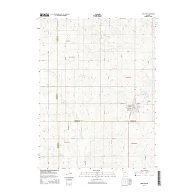
2014 Map of King City
USGS Topo · Published 2014About this map
King City serves as the primary hub of this Missouri landscape, situated at the intersection of Gentry, Andrew, and DeKalb counties. The town is structured around a grid of streets including W Empire Ave and W Putnam St, with the King City Cemetery and King City Reservoir marking its eastern edge. The surrounding rural terrain is defined by a dendritic drainage pattern where numerous creeks, such as Third Fork and Island Cr, cut through the farmland. To the northwest, the small settlement of Douglas sits along Mo-BB. The map reveals a high density of water management features, including Limpp Lake and Culver Lake, which are essential for the region's agricultural productivity. These water sources and the network of county roads like 427th Rd and 445th Rd illustrate the coordinated land use of the Northwestern Missouri plains.
Find a feature on this map
75 named features on this map. Tap any name to fly to it.
Don’t see what you’re looking for? This feature index may not catch every label — zoom into the map to look around manually.
Map Details
Editions of this 2014 King City Map
This is the sole edition of this map. No revisions or reprints were ever made.
Other maps of this area

1923 · Clarksdale
USGS Topo · 1:62,500

1923 · Maysville
USGS Topo · 1:62,500

1925 · Clarksdale
USGS Topo · 1:62,500

1925 · Stanberry
USGS Topo · 1:62,500

1925 · Maysville
USGS Topo · 1:62,500

1925 · Darlington
USGS Topo · 1:62,500

1939 · Stanberry
USGS Topo · 1:62,500

1943 · Stanberry
USGS Topo · 1:62,500

1950 · Kansas City
USGS Topo · 1:250,000

1950 · Darlington
USGS Topo · 1:62,500