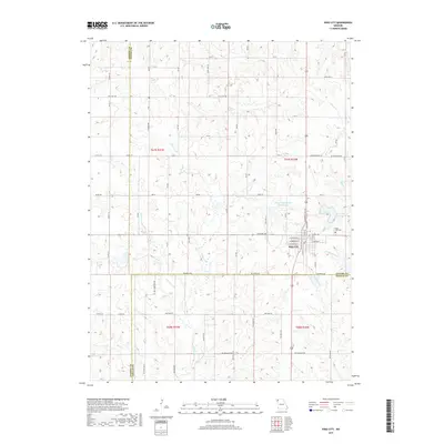
2017 Map of King City
USGS Topo · Published 2017About this map
King City serves as the primary hub in this Northwest Missouri landscape, where the borders of Gentry, Andrew, and DeKalb counties converge. The town's grid is clearly defined by local thoroughfares such as W Empire Ave and W Vermont St, while the King City Cem is located on the eastern outskirts. Water management is a significant feature of the terrain, visible through the King City Reservoir and the Limpp Community State Lake, which sits just northwest of the town center.
Find a feature on this map
41 named features on this map. Tap any name to fly to it.
Don’t see what you’re looking for? This feature index may not catch every label — zoom into the map to look around manually.
Map Details
Editions of this 2017 King City Map
This is the sole edition of this map. No revisions or reprints were ever made.
Other maps of this area

1923 · Clarksdale
USGS Topo · 1:62,500

1923 · Maysville
USGS Topo · 1:62,500

1925 · Clarksdale
USGS Topo · 1:62,500

1925 · Stanberry
USGS Topo · 1:62,500

1925 · Maysville
USGS Topo · 1:62,500

1925 · Darlington
USGS Topo · 1:62,500

1939 · Stanberry
USGS Topo · 1:62,500

1943 · Stanberry
USGS Topo · 1:62,500

1950 · Kansas City
USGS Topo · 1:250,000

1950 · Darlington
USGS Topo · 1:62,500