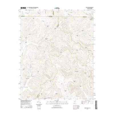
2014 Map of King Cove
USGS Topo · Published 2014About this map
Francisco sits at the intersection of Alabama and Tennessee, serving as a focal point for the mountain and cove country where Madison Co, Jackson Co, Lincoln Co, and Franklin Co all meet. The landscape is defined by its complex karst topography, featuring numerous sinks and coves that have long dictated settlement patterns. Hambrick Sinks and Cunningham Sinks highlight this geologic character, while family-named peaks like Hodge Mtn and Maxwell Mtn rise above fertile coves.
Find a feature on this map
79 named features on this map. Tap any name to fly to it.
Don’t see what you’re looking for? This feature index may not catch every label — zoom into the map to look around manually.
Map Details
Editions of this 2014 King Cove Map
This is the sole edition of this map. No revisions or reprints were ever made.
Other maps of this area

1888 · Scottsboro
USGS Topo · 1:125,000

1892 · Scottsboro
USGS Topo · 1:125,000

1928 · Decherd
USGS Topo · 1:62,500

1936 · King Cove
USGS Topo · 1:24,000

1936 · Flintville
USGS Topo · 1:24,000

1936 · Hollytree
USGS Topo · 1:24,000

1936 · Beans Creek
USGS Topo · 1:24,000

1936 · Princeton
USGS Topo · 1:24,000

1936 · Huntland
USGS Topo · 1:24,000

1936 · Maysville
USGS Topo · 1:24,000