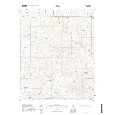
2020 Map of King Cove
USGS Topo · Published 2020About this map
Francisco sits at the northern edge of this high-elevation landscape where the Tennessee and Alabama border meets the intersection of Lincoln, Madison, Jackson, and Franklin counties. The terrain is defined by a series of steep drainages and hollows, including Bluff Hollow, Fitch Hollow, and Cramer Hollow, which channel water into branches like Martin Br and Flag Br. These watercourses eventually feed into the Mountain Fork and Lick Fork.
Find a feature on this map
85 named features on this map. Tap any name to fly to it.
Don’t see what you’re looking for? This feature index may not catch every label — zoom into the map to look around manually.
Map Details
Editions of this 2020 King Cove Map
This is the sole edition of this map. No revisions or reprints were ever made.
Other maps of this area

1888 · Scottsboro
USGS Topo · 1:125,000

1892 · Scottsboro
USGS Topo · 1:125,000

1928 · Decherd
USGS Topo · 1:62,500

1936 · King Cove
USGS Topo · 1:24,000

1936 · Flintville
USGS Topo · 1:24,000

1936 · Hollytree
USGS Topo · 1:24,000

1936 · Beans Creek
USGS Topo · 1:24,000

1936 · Princeton
USGS Topo · 1:24,000

1936 · Huntland
USGS Topo · 1:24,000

1936 · Maysville
USGS Topo · 1:24,000