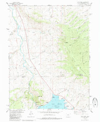
1980 Map of King Creek
USGS Topo · Published 1985About this map
Green Mountain Reservoir dominates the southern landscape of this 1980 survey, where the settlement of Heeney sits near the water's edge just above the Spillway. The map captures a transition between water management and wilderness, showing the Power Plant and Gaging Station operating alongside the expansive Arapaho National Forest. This era shows the developed recreation around the reservoir with Willows Campground, Meadow Campground, and Cow Creek Campground all established to serve visitors.
Find a feature on this map
43 named features on this map. Tap any name to fly to it.
Don’t see what you’re looking for? This feature index may not catch every label — zoom into the map to look around manually.
Map Details
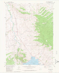
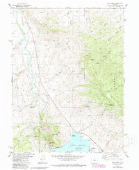
Editions of this 1980 King Creek Map
3 editions found
Other maps of this area

1933 · Mt. Powell
USGS Topo · 1:48,000

1933 · Ute Peak
USGS Topo · 1:62,500

1937 · Ute Peak
USGS Topo · 1:62,500

1940 · Mount Powell
USGS Topo · 1:62,500

1954 · Craig
USGS Topo · 1:250,000

1956 · Kremmling
USGS Topo · 1:62,500

1957 · Craig
USGS Topo · 1:250,000

1957 · Hot Sulphur Springs
USGS Topo · 1:62,500

1957 · Leadville
USGS Topo · 1:250,000

1958 · Craig
USGS Topo · 1:250,000