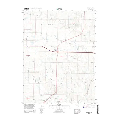
2015 Map of Kingdom City
USGS Topo · Published 2015About this map
The crossroads of Kingdom City and the northern reaches of Fulton define this central Missouri landscape, where modern transportation corridors intersect long-established rural routes. The intersection of major highways and local roads like Old US-40 and Old US Highway 40 E illustrates the evolution of travel in Callaway County. To the north, the small settlement of McCredie sits near the McCredie Watershed W-1 Reservoir, reflecting the importance of water management in this agricultural region.
Find a feature on this map
107 named features on this map. Tap any name to fly to it.
Don’t see what you’re looking for? This feature index may not catch every label — zoom into the map to look around manually.
Map Details
Editions of this 2015 Kingdom City Map
This is the sole edition of this map. No revisions or reprints were ever made.
Other maps of this area

1886 · Jefferson City
USGS Topo · 1:125,000

1890 · Mexico
USGS Topo · 1:125,000

1890 · Moberly
USGS Topo · 1:125,000

1890 · Fulton
USGS Topo · 1:125,000

1894 · Jefferson City
USGS Topo · 1:125,000

1928 · Fulton
USGS Topo · 1:62,500

1931 · Fulton
USGS Topo · 1:62,500

1932 · Mexico
USGS Topo · 1:62,500

1944 · Millersburg
USGS Topo · 1:62,500

1945 · Centralia
USGS Topo · 1:62,500