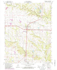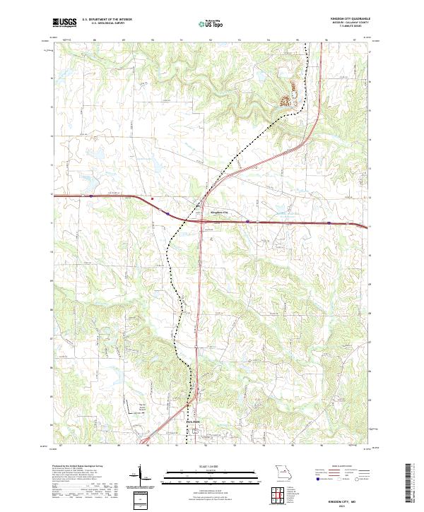
2021 Map of Kingdom City
USGS Topo · Published 2021About this map
Kingdom City sits at the intersection of major transit corridors in this contemporary survey of central Missouri, where the landscape transitions from agricultural uplands to the creek-carved terrain north of the Missouri River. The northern edge of Fulton reaches into the quadrangle, anchored by local infrastructure like the Sky-Go Farms Airport. This area is defined by a complex network of waterways, including the winding Richland Cr and Auxvasse Cr, which drain the surrounding farmland.
Find a feature on this map
96 named features on this map. Tap any name to fly to it.
Don’t see what you’re looking for? This feature index may not catch every label — zoom into the map to look around manually.
Map Details
Editions of this 2021 Kingdom City Map
This is the sole edition of this map. No revisions or reprints were ever made.