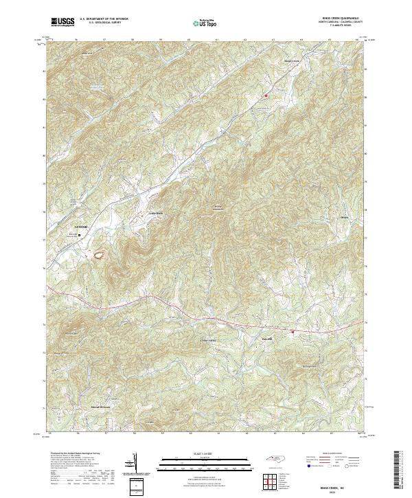
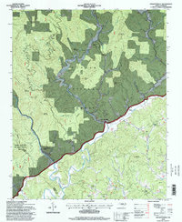
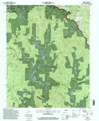
2022 Map of Kings Creek
USGS Topo · Published 2022About this map
The Brushy Mountains dominate the eastern landscape of this Caldwell County quadrangle, where the transition from high ridgelines to valley floor defines the local settlement pattern. In the west, the city of Lenoir begins to transition into more rural territory, marked by the Blue Ridge Memorial Park and the small Lower Creek Airport. The terrain is deeply corrugated, with numerous family-named peaks such as Moses Knob and Bullinger Mtn rising above the headwaters of the Little River and Zacks Fork Cr.
Find a feature on this map
116 named features on this map. Tap any name to fly to it.
Don’t see what you’re looking for? This feature index may not catch every label — zoom into the map to look around manually.
Map Details
Editions of this 2022 Kings Creek Map
This is the sole edition of this map. No revisions or reprints were ever made.
Historical Maps of Oak Hill Through Time
16 maps found
1956 Collettsville
Caldwell County, NC
1959 Globe
Caldwell County, NC
1966 Grandin
Caldwell County, NC
1967 Buffalo Cove
Caldwell County, NC
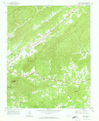
1970 Kings Creek
Caldwell County, NC
1993 Collettsville
Caldwell County, NC
1994 Buffalo Cove
Caldwell County, NC
1994 Collettsville
Caldwell County, NC
1994 Globe
Caldwell County, NC
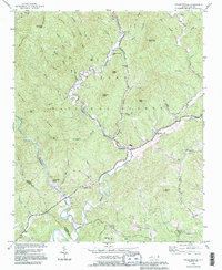
1997 Kings Creek
Caldwell County, NC
2000 Grandin
Caldwell County, NC
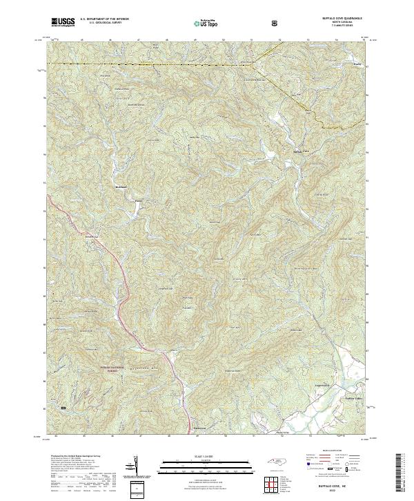
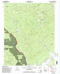
2022 Buffalo Cove
Caldwell County, NC
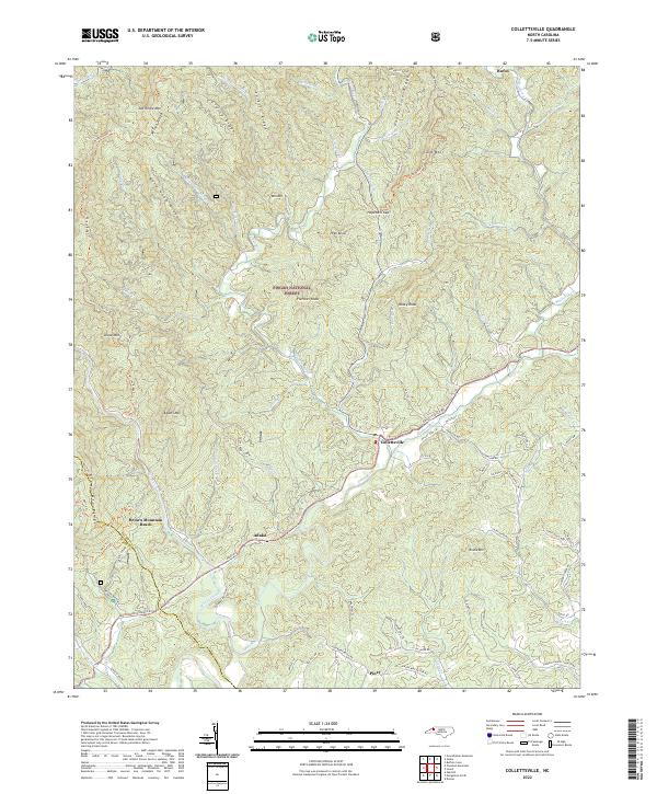
2022 Collettsville
Caldwell County, NC
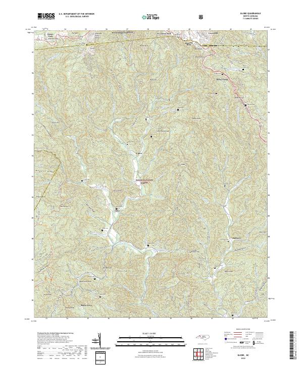
2022 Globe
Caldwell County, NC
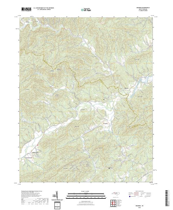
2022 Grandin
Caldwell County, NC
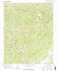
2022 Kings Creek
Caldwell County, NC