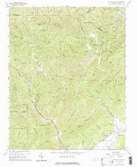
1967 Map of Buffalo Cove
USGS Topo · Published 1976About this map
The Yadkin River defines the lower elevations of this survey, winding through the valley where the settlements of Patterson, Legerwood, and Yadkin Valley are situated. This area reflects a mid-20th-century rural landscape transitioning into the protected boundaries of the Pisgah National Forest. Significant local institutions like the Patterson Sch and various houses of worship, including Nebbins Chapel and the Chapel of Rest, serve as focal points for the surrounding mountain communities.
Find a feature on this map
106 named features on this map. Tap any name to fly to it.
Don’t see what you’re looking for? This feature index may not catch every label — zoom into the map to look around manually.
Map Details
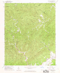
Editions of this 1967 Buffalo Cove Map
2 editions found
Other maps of this area

1889 · Wilkesboro
USGS Topo · 1:125,000

1891 · Wilkesboro
USGS Topo · 1:125,000

1893 · Cranberry
USGS Topo · 1:125,000

1895 · Hickory
USGS Topo · 1:125,000

1895 · Cranberry
USGS Topo · 1:125,000

1899 · Cranberry
USGS Topo · 1:125,000

1902 · Cranberry
USGS Topo · 1:125,000

1905 · Morganton
USGS Topo · 1:125,000

1934 · Boone
USGS Topo · 1:24,000

1936 · Blowing Rock
USGS Topo · 1:48,000