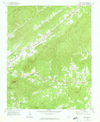
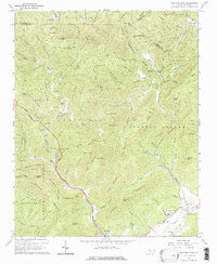
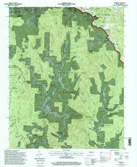
1970 Map of Kings Creek
USGS Topo · Published 1973This historical map portrays the area of Kings Creek in 1970, primarily covering Caldwell County. Featuring a scale of 1:24000, this map provides a highly detailed snapshot of the terrain, roads, buildings, counties, and historical landmarks in the Kings Creek region at the time. Published in 1973, it is the sole known edition of this map.
Find a feature on this map
44 named features on this map. Tap any name to fly to it.
Don’t see what you’re looking for? This feature index may not catch every label — zoom into the map to look around manually.
Map Details
Editions of this 1970 Kings Creek Map
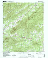
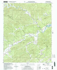
This is the sole edition of this map. No revisions or reprints were ever made.
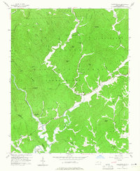
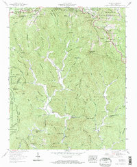
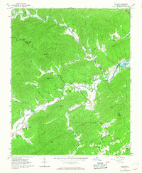
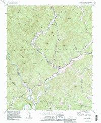
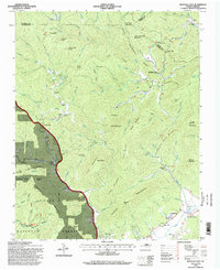
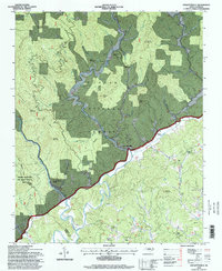
Historical Maps of Draco Through Time
11 maps found
1956 Collettsville
Caldwell County, NC
1959 Globe
Caldwell County, NC
1966 Grandin
Caldwell County, NC
1967 Buffalo Cove
Caldwell County, NC
1970 Kings Creek
Caldwell County, NC
1993 Collettsville
Caldwell County, NC
1994 Buffalo Cove
Caldwell County, NC
1994 Collettsville
Caldwell County, NC
1994 Globe
Caldwell County, NC
1997 Kings Creek
Caldwell County, NC
2000 Grandin
Caldwell County, NC